Small airport · United Arab Emirates
Delma AirportOMDL
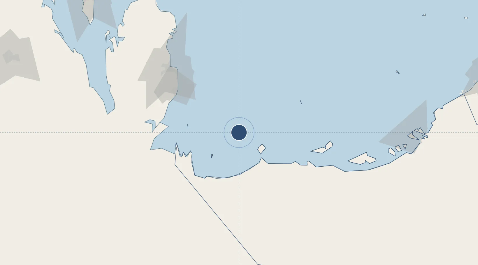
24.5100°, 52.3352°
8,202 ft
Longest runway
1
Runways
30 ft
Elevation
Runway & Layout

Runways · 1
| Runway | Dimensions | Surface | True heading | Lit |
|---|---|---|---|---|
| 17/35 | 8,202 × 154ft | ASPH | 170° | ✓ |
Airport Specifications
IATA code
ZDY
ICAO code
OMDL
Airport class
Small airport
Scheduled service
Yes
Runway surface
ASPH
Served city
Delma Island
Location
Nearby Logistics Neighbours
Airports
- 1Sir Bani Yas Airport35 km
- 2Batha Airport96 km
- 3Hamad International Airport112 km
- 4Doha International Airport114 km
- 5Al Udeid Air Base123 km
Cities
- 1Yas Island34 km
- 2Ar Ruways60 km
- 3Ruwais Port60 km
- 4Zirku Island85 km
- 5Qchem89 km
Ports
- 1Jabal Az Zannah/ruways51 km
- 2Zirkuh Oil Field82 km
- 3Jazirat Das89 km
- 4Umm Said90 km
- 5Doha118 km
Trade Zones
- 1Umm Alhoul - Port Free Zone100 km
- 2Ras Bufontas - Airport Free Zone109 km
- 3Qatar Media City119 km
- 4Qatar Financial Centre122 km
- 5Qatar Science and Technology Park128 km
DatabookThe Record of Consolidated Knowledge
United Arab Emirates beyond logistics?