Seaport · Portugal

LagosPTLOS

37.1000°, -8.6167°
Lagos is also a UN/LOCODE logistics hub →

Channel & Berth Profile

NGA World Port Index

Facilities & Capabilities

Container
Ro-Ro
Liquid bulk
Dry bulk
Oil terminal
Break bulk
Dry dock
Repairs
Bunkering
Rail link
Dangerous cargo
ISPS security
NGA World Port Index

Harbour Specifications

Harbour size
Large
NGA World Port Index
Water body
North Atlantic Ocean
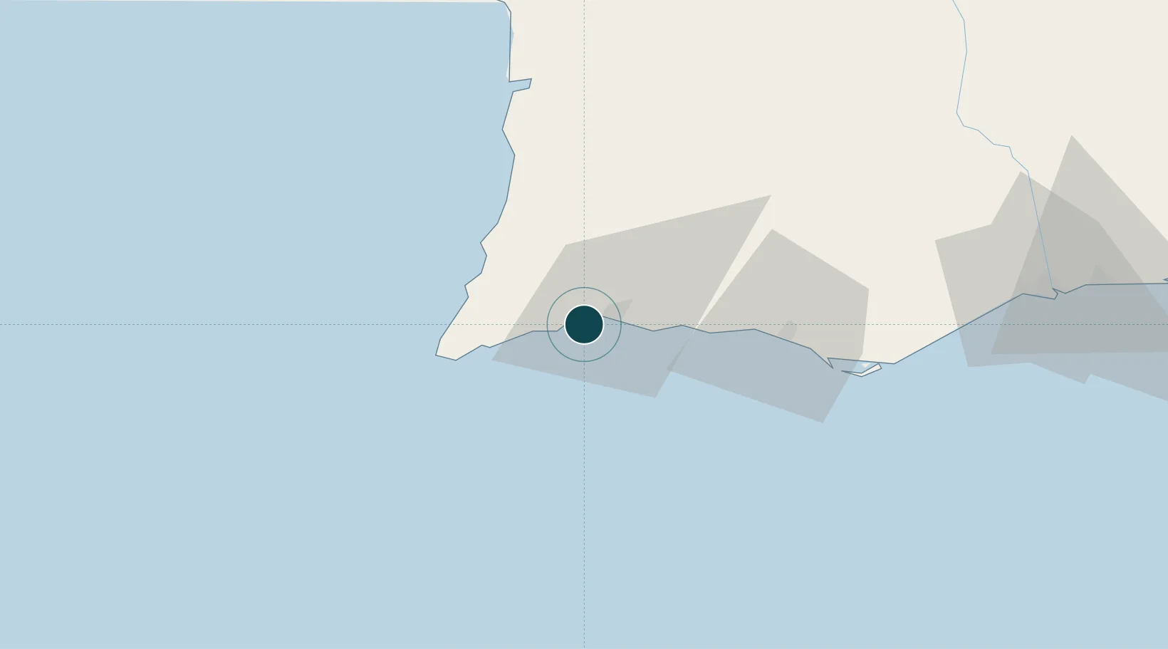
NGA World Port Index

Location

Location of PTLOS
Natural Earth 10m (public domain) · Faro · PTLOS · 37.10, -8.62GoogleOSMYandex

Nearby Logistics Neighbours

Ports
  1. 1Faro61 km
  2. 2Sines97 km
  3. 3Vila Real De S Antonio108 km
  4. 4Huelva149 km
  5. 5Setubal160 km
Nearest neighbours — logibook spatial index (haversine) over the source coordinates
Cities
  1. 1Portimao8 km
  2. 2Burgau14 km
  3. 3Benagil16 km
  4. 4Silves19 km
  5. 5Armação de Pêra24 km
Nearest neighbours — logibook spatial index (haversine) over the source coordinates
Airports
  1. 1Portimão Airport6 km
  2. 2Faro - Gago Coutinho International Airport58 km
  3. 3Beja Airport / Airbase124 km
  4. 4Évora Airfield172 km
  5. 5Montijo Air Base183 km
Nearest neighbours — logibook spatial index (haversine) over the source coordinates
Trade Zones
  1. 1Puerto de Huelva148 km
  2. 2Zona Franca de Cádiz220 km
  3. 3Zona Franca de Sevilla233 km
  4. 4Tanger Free Export Zone287 km
  5. 5Depósito Franco de Algeciras304 km
Nearest neighbours — logibook spatial index (haversine) over the source coordinates
DatabookThe Record of Consolidated Knowledge
Portugal beyond logistics?
Browse databook

All Sources

Portsthe NGA World Port Index
Public domain (US gov)
AirportsOurAirports
Public domain
LocationsUN/LOCODE
UN/LOCODE — free
Trade Zonesthe World Bank SEZ database
CC BY 4.0
Trade ZonesOpen Zone Map
CC BY
← Portugal ports