Large airport · Portugal
Faro - Gago Coutinho International AirportLPFR
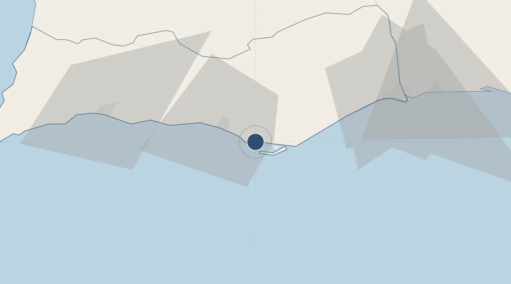
37.0159°, -7.9709°
8,169 ft
Longest runway
1
Runways
24 ft
Elevation
Runway & Layout

Radio Frequencies
ATIS
124.2 MHz
TWR
118.2 MHz
GND
118.575 MHz
APP
119.4 MHz
Navaids
FAR NDB Faro 332 kHz
VFA VOR-DME Faro 112.80 MHz
Runways · 1
| Runway | Dimensions | Surface | True heading | Lit |
|---|---|---|---|---|
| 10/28 | 8,169 × 148ft | Asphalt | 100° | ✓ |
Airport Specifications
IATA code
FAO
ICAO code
LPFR
Airport class
Large airport
Scheduled service
Yes
Runway surface
Asphalt
Served city
Faro
Location
Nearby Logistics Neighbours
Airports
- 1Portimão Airport56 km
- 2Beja Airport / Airbase118 km
- 3Rota Naval Station Airport150 km
- 4Madroñalejos Forest Fire fighting Heliport159 km
- 5Évora Airfield169 km
Ports
- 1Faro4 km
- 2Vila Real De S Antonio54 km
- 3Lagos58 km
- 4Huelva94 km
- 5Sines131 km
Trade Zones
- 1Puerto de Huelva94 km
- 2Zona Franca de Cádiz162 km
- 3Zona Franca de Sevilla178 km
- 4Tanger Free Export Zone234 km
- 5Depósito Franco de Algeciras247 km
DatabookThe Record of Consolidated Knowledge
Portugal beyond logistics?