Transport Functions
Port
Hub Profile
Place type
Populated place
Region
Faro
Time zone
Europe/Lisbon
Elevation
49 m
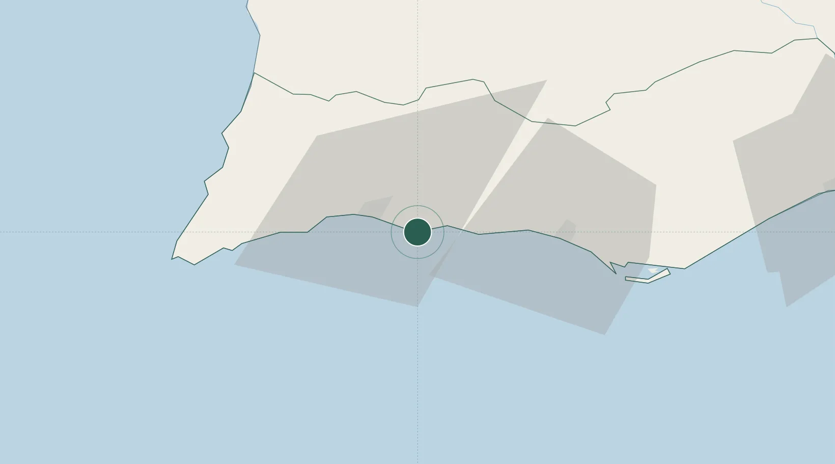
Location
Nearby Logistics Neighbours
Cities
- 1Armação de Pêra8 km
- 2Portimao11 km
- 3Silves11 km
- 4Albufeira16 km
- 5Lagos21 km
Ports
- 1Lagos16 km
- 2Faro45 km
- 3Vila Real De S Antonio92 km
- 4Sines104 km
- 5Huelva133 km
Airports
- 1Portimão Airport15 km
- 2Faro - Gago Coutinho International Airport42 km
- 3Beja Airport / Airbase119 km
- 4Évora Airfield168 km
- 5Montijo Air Base188 km
Trade Zones
- 1Puerto de Huelva132 km
- 2Zona Franca de Cádiz204 km
- 3Zona Franca de Sevilla217 km
- 4Tanger Free Export Zone272 km
- 5Depósito Franco de Algeciras288 km
DatabookThe Record of Consolidated Knowledge
Portugal beyond logistics?