Transport Functions
Rail
Road
Hub Profile
Place type
Provincial seat
Region
Faro
Population
10,917
Time zone
Europe/Lisbon
Elevation
27 m
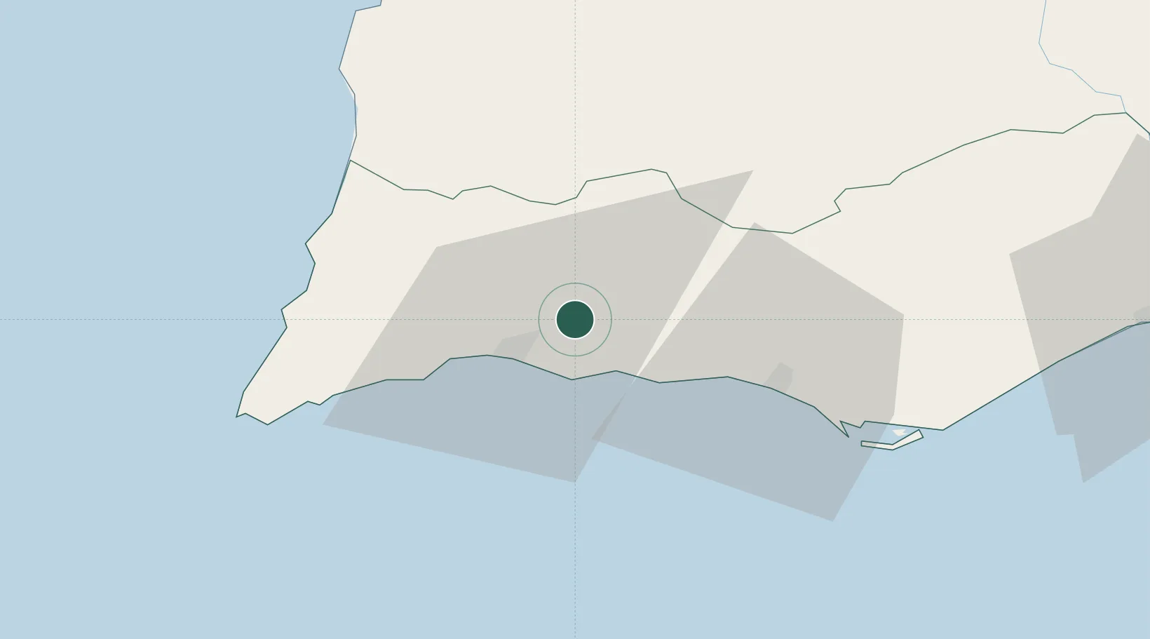
Location
Nearby Logistics Neighbours
Cities
- 1Portimao11 km
- 2Benagil11 km
- 3Armação de Pêra12 km
- 4São Bartolomeu de Messines15 km
- 5Albufeira20 km
Ports
- 1Lagos19 km
- 2Faro47 km
- 3Vila Real De S Antonio92 km
- 4Sines93 km
- 5Huelva132 km
Airports
- 1Portimão Airport14 km
- 2Faro - Gago Coutinho International Airport45 km
- 3Beja Airport / Airbase109 km
- 4Évora Airfield158 km
- 5Montijo Air Base178 km
Trade Zones
- 1Puerto de Huelva131 km
- 2Zona Franca de Cádiz207 km
- 3Zona Franca de Sevilla216 km
- 4Tanger Free Export Zone278 km
- 5Depósito Franco de Algeciras292 km
DatabookThe Record of Consolidated Knowledge
Portugal beyond logistics?