Transport Functions
Port
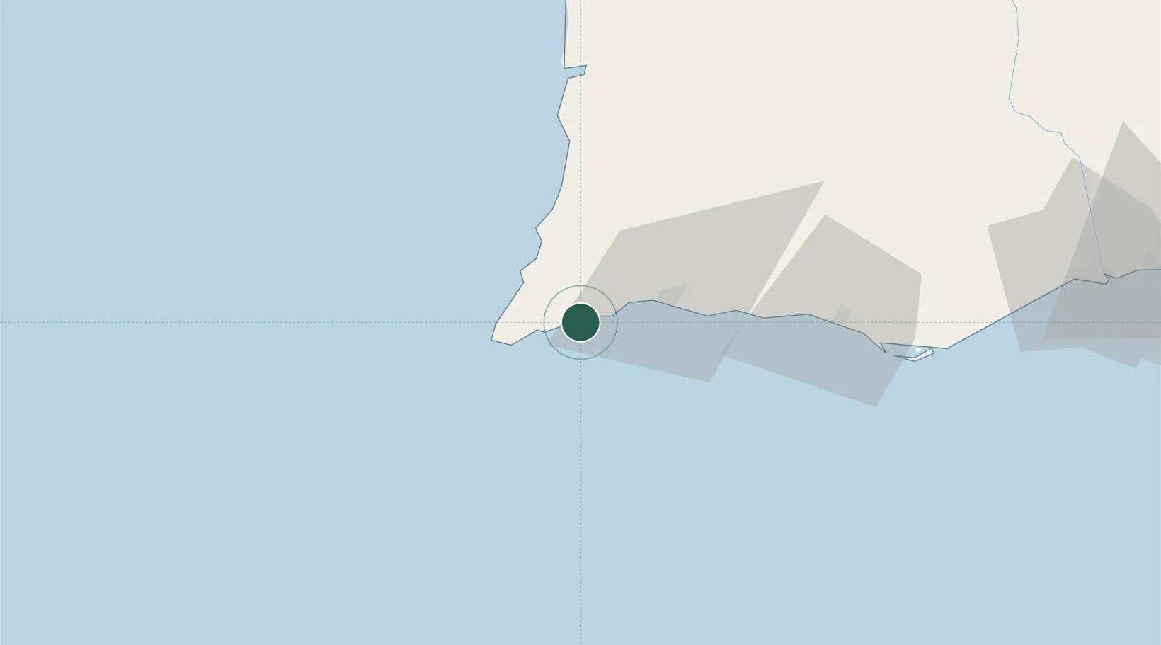
Hub Profile
Place type
Populated place
Region
Faro
Population
200
Time zone
Europe/Lisbon
Elevation
21 m
Location
Nearby Logistics Neighbours
Ports
- 1Lagos14 km
- 2Faro74 km
- 3Sines99 km
- 4Vila Real De S Antonio122 km
- 5Setubal162 km
Airports
- 1Portimão Airport19 km
- 2Faro - Gago Coutinho International Airport71 km
- 3Beja Airport / Airbase134 km
- 4Évora Airfield180 km
- 5Montijo Air Base184 km
Trade Zones
- 1Puerto de Huelva162 km
- 2Zona Franca de Cádiz232 km
- 3Zona Franca de Sevilla247 km
- 4Tanger Free Export Zone296 km
- 5Depósito Franco de Algeciras315 km
DatabookThe Record of Consolidated Knowledge
Portugal beyond logistics?