Medium airport · Portugal

Portimão AirportLPPM
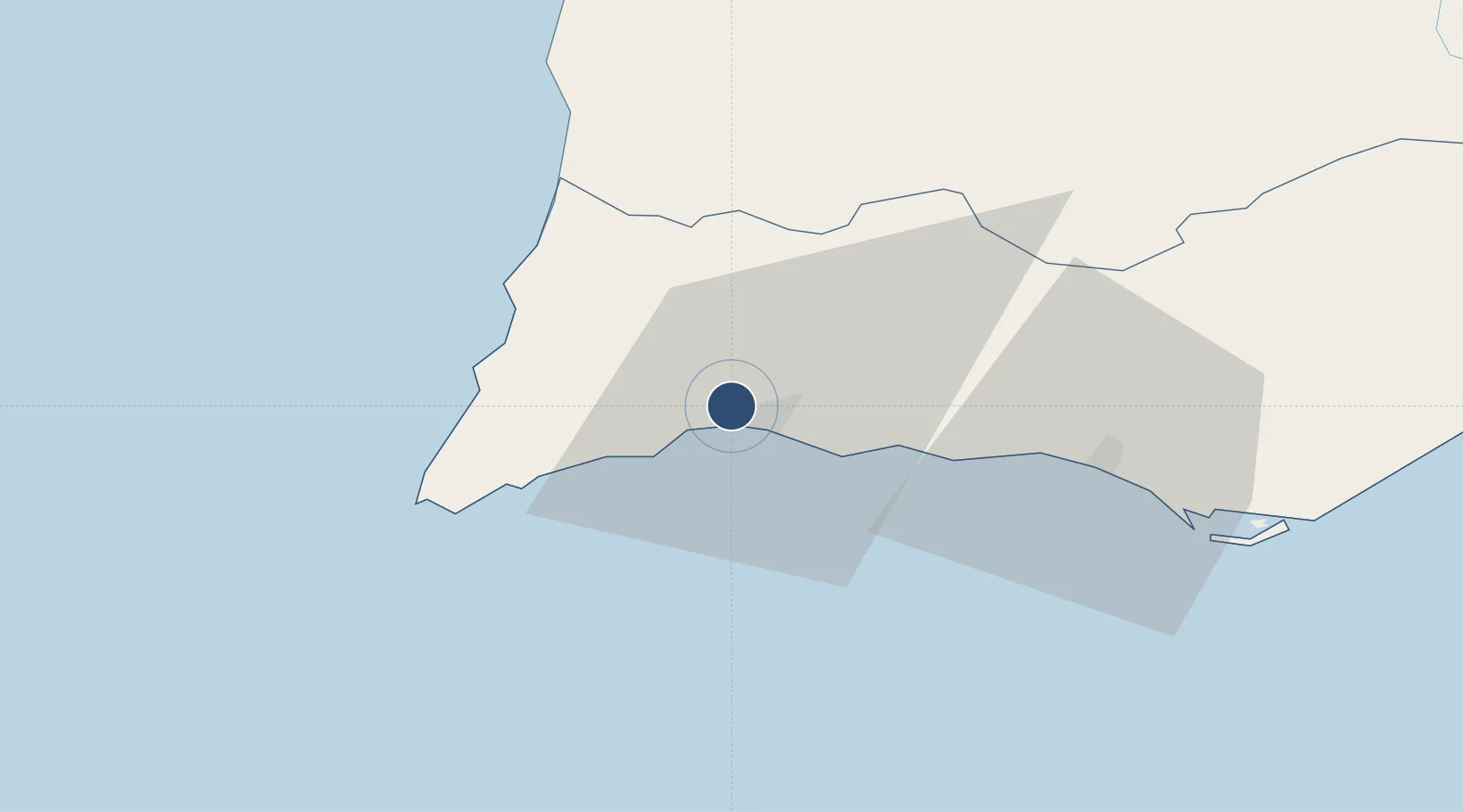
37.1493°, -8.5840°
2,822 ft
Longest runway
1
Runways
5 ft
Elevation

Runway & Layout

Portimão Airport runway & taxiway layout
Runway & taxiway layout — OpenStreetMap (ODbL) / OurAirports

Radio Frequencies

AFIS
122 MHz
RDO
OurAirports

Runways · 1

RunwayDimensions SurfaceTrue headingLit
11/29 2,822 × 89ft Asphalt 107°
OurAirports

Airport Specifications

IATA code
PRM
OurAirports
ICAO code
LPPM
OurAirports
Airport class
Medium airport
OurAirports
Scheduled service
Yes
OurAirports
Runway surface
Asphalt
OurAirports
Served city
Portimão
OurAirports

Location

Location of LPPM
Natural Earth 10m (public domain) · Faro · LPPM · 37.15, -8.58GoogleOSMYandex

Nearby Logistics Neighbours

Airports
  1. 1Faro - Gago Coutinho International Airport56 km
  2. 2Beja Airport / Airbase118 km
  3. 3Évora Airfield166 km
  4. 4Montijo Air Base178 km
  5. 5Lisbon Humberto Delgado Airport188 km
Nearest neighbours — logibook spatial index (haversine) over the source coordinates
Cities
  1. 1Portimao5 km
  2. 2Lagos9 km
  3. 3Silves14 km
  4. 4Benagil15 km
  5. 5Burgau19 km
Nearest neighbours — logibook spatial index (haversine) over the source coordinates
Ports
  1. 1Lagos6 km
  2. 2Faro59 km
  3. 3Sines93 km
  4. 4Vila Real De S Antonio105 km
  5. 5Huelva145 km
Nearest neighbours — logibook spatial index (haversine) over the source coordinates
Trade Zones
  1. 1Puerto de Huelva144 km
  2. 2Zona Franca de Cádiz219 km
  3. 3Zona Franca de Sevilla230 km
  4. 4Tanger Free Export Zone287 km
  5. 5Depósito Franco de Algeciras303 km
Nearest neighbours — logibook spatial index (haversine) over the source coordinates
DatabookThe Record of Consolidated Knowledge
Portugal beyond logistics?
Browse databook

All Sources

AirportsOurAirports
Public domain
Portsthe NGA World Port Index
Public domain (US gov)
LocationsUN/LOCODE
UN/LOCODE — free
Trade Zonesthe World Bank SEZ database
CC BY 4.0
Trade ZonesOpen Zone Map
CC BY
InfrastructureOpenStreetMap
ODbL 1.0
← Portugal airports