UN/LOCODE hub · Portugal
PTARP
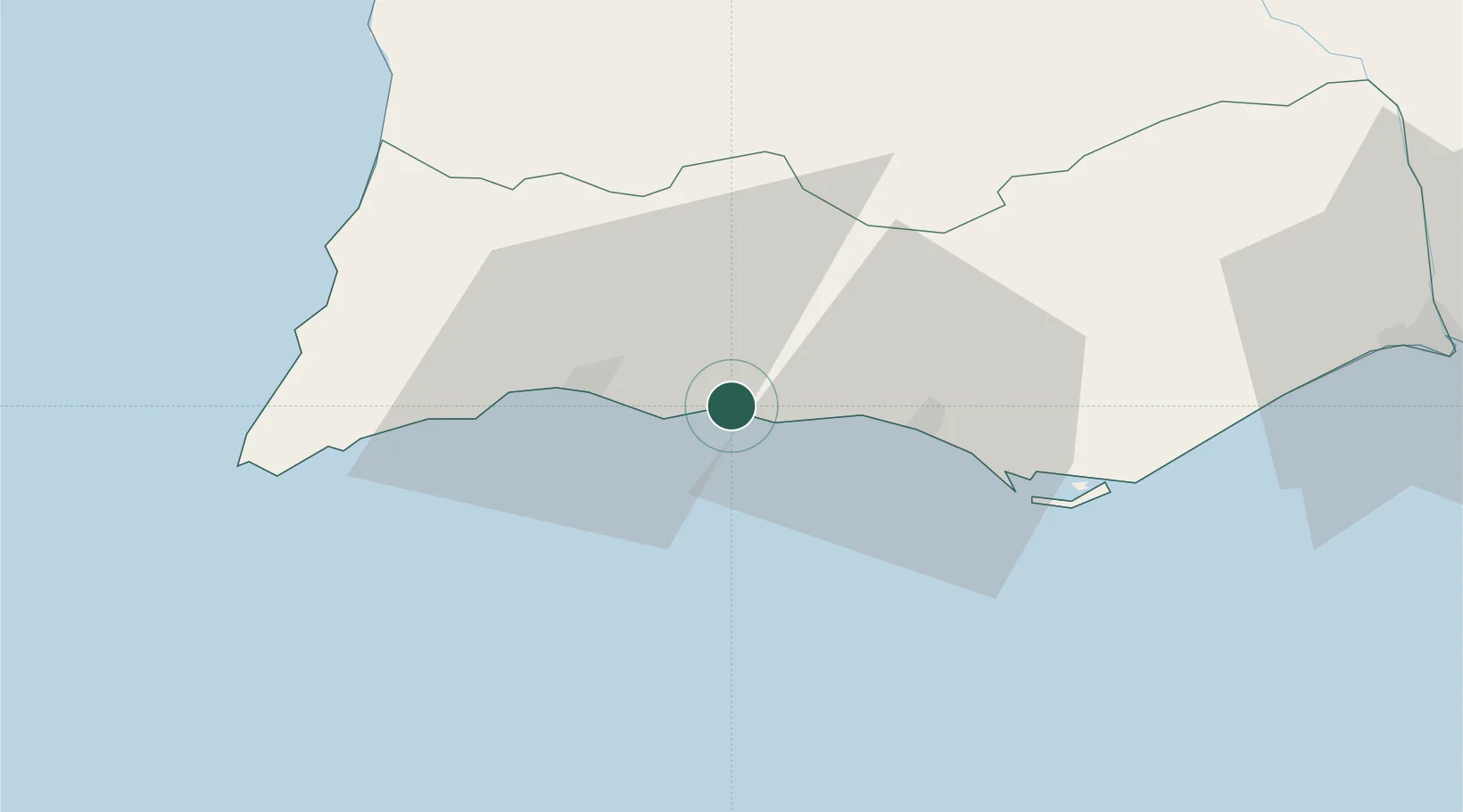
Armação de Pêra
37.1000°, -8.3500°
6,003
Population
2
Transport functions
Transport Functions
Port
Road
Hub Profile
Place type
Populated place
Region
Faro
Population
6,003
Time zone
Europe/Lisbon
Elevation
8 m
Location
Nearby Logistics Neighbours
Cities
- 1Benagil8 km
- 2Albufeira9 km
- 3Silves12 km
- 4Olhos de Água15 km
- 5Portimao17 km
Ports
- 1Lagos24 km
- 2Faro38 km
- 3Vila Real De S Antonio85 km
- 4Sines105 km
- 5Huelva125 km
Airports
- 1Portimão Airport22 km
- 2Faro - Gago Coutinho International Airport35 km
- 3Beja Airport / Airbase115 km
- 4Évora Airfield164 km
- 5Rota Naval Station Airport185 km
Trade Zones
- 1Puerto de Huelva124 km
- 2Zona Franca de Cádiz197 km
- 3Zona Franca de Sevilla210 km
- 4Tanger Free Export Zone267 km
- 5Depósito Franco de Algeciras282 km
DatabookThe Record of Consolidated Knowledge
Portugal beyond logistics?