Transport Functions
Port
Rail
Road
Hub Profile
Place type
Populated place
Region
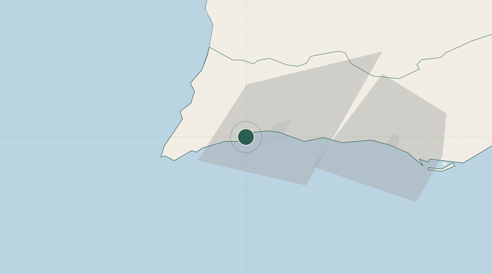
Faro
Population
33,494
Time zone
Europe/Lisbon
Elevation
12 m
Location
Nearby Logistics Neighbours
Ports
- 1Faro66 km
- 2Sines96 km
- 3Vila Real De S Antonio113 km
- 4Huelva153 km
- 5Setubal159 km
Airports
- 1Portimão Airport9 km
- 2Faro - Gago Coutinho International Airport62 km
- 3Beja Airport / Airbase127 km
- 4Évora Airfield173 km
- 5Montijo Air Base182 km
Trade Zones
- 1Puerto de Huelva152 km
- 2Zona Franca de Cádiz224 km
- 3Zona Franca de Sevilla238 km
- 4Tanger Free Export Zone290 km
- 5Depósito Franco de Algeciras308 km
DatabookThe Record of Consolidated Knowledge
Portugal beyond logistics?