Transport Functions
Port
Rail
Road
Hub Profile
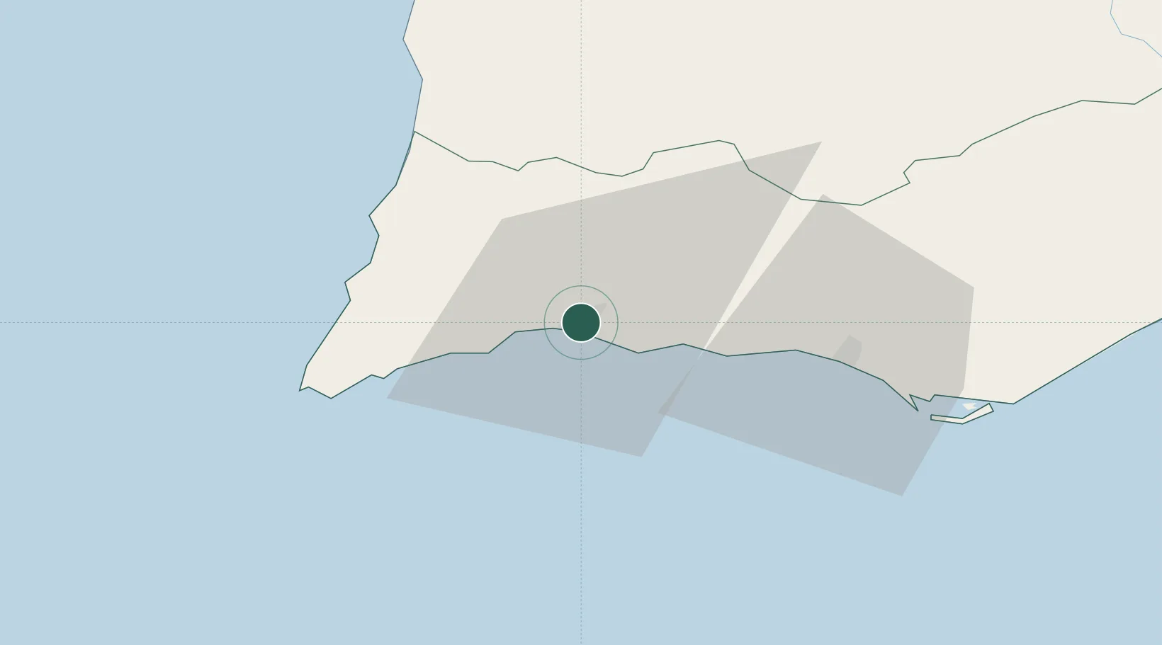
Place type
Populated place
Region
Faro
Population
38,487
Time zone
Europe/Lisbon
Elevation
13 m
Location
Nearby Logistics Neighbours
Cities
- 1Silves11 km
- 2Benagil11 km
- 3Lagos12 km
- 4Armação de Pêra17 km
- 5Burgau22 km
Ports
- 1Lagos8 km
- 2Faro54 km
- 3Sines95 km
- 4Vila Real De S Antonio101 km
- 5Huelva141 km
Airports
- 1Portimão Airport5 km
- 2Faro - Gago Coutinho International Airport52 km
- 3Beja Airport / Airbase118 km
- 4Évora Airfield166 km
- 5Montijo Air Base181 km
Trade Zones
- 1Puerto de Huelva140 km
- 2Zona Franca de Cádiz214 km
- 3Zona Franca de Sevilla225 km
- 4Tanger Free Export Zone282 km
- 5Depósito Franco de Algeciras298 km
DatabookThe Record of Consolidated Knowledge
Portugal beyond logistics?