Medium airport · Puerto Rico

Benjamin Rivera Noriega AirportTJCP
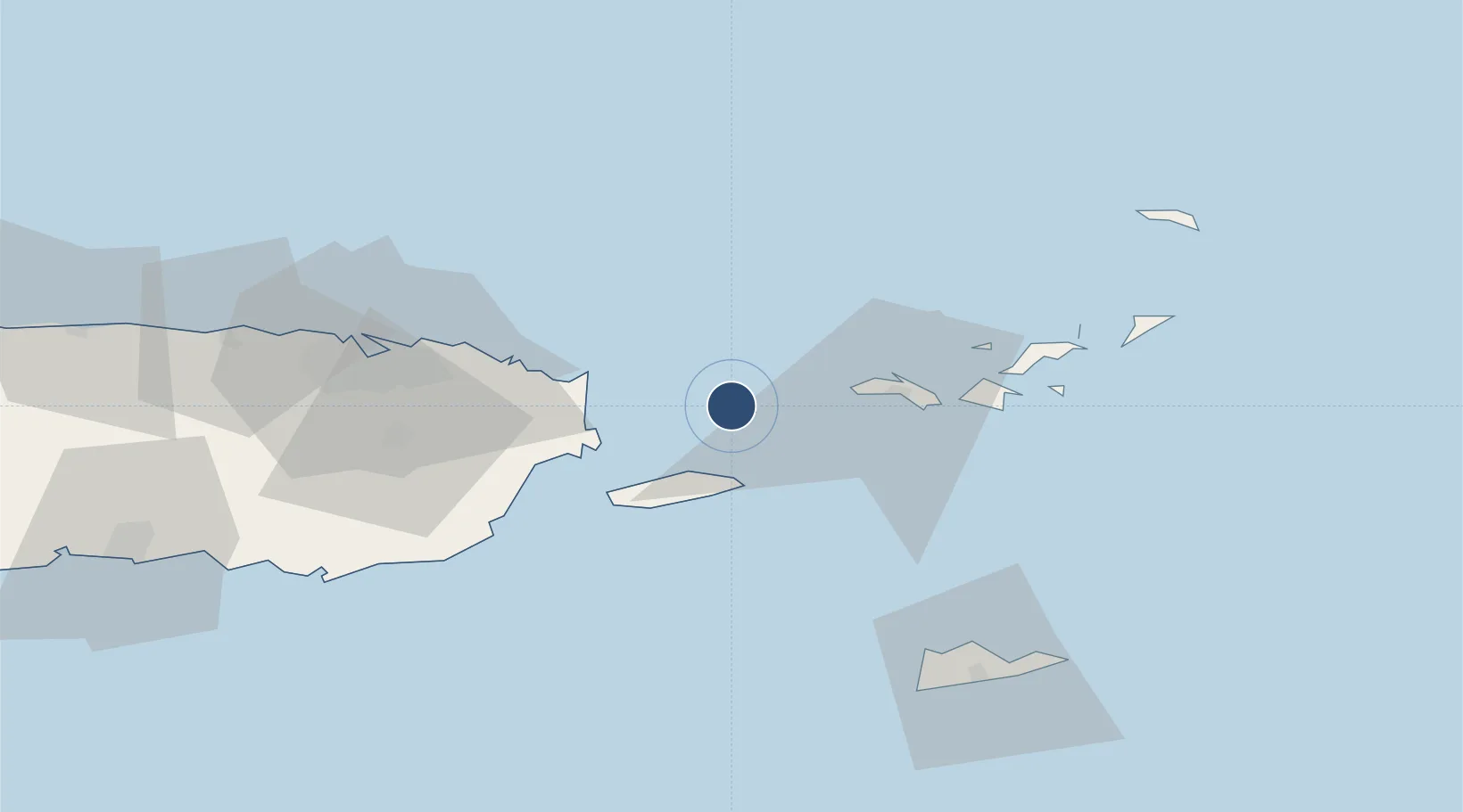
18.3130°, -65.3039°
2,600 ft
Longest runway
1
Runways
49 ft
Elevation

Runway & Layout

Runways · 1

RunwayDimensions SurfaceTrue headingLit
13/31 2,600 × 50ft ASPH-G
OurAirports

Airport Specifications

IATA code
CPX
OurAirports
ICAO code
TJCP
OurAirports
Airport class
Medium airport
OurAirports
Scheduled service
Yes
OurAirports
Runway surface
ASPH-G
OurAirports
Served city
Culebra
OurAirports

Location

Location of TJCP
Natural Earth 10m (public domain) · Puerto Rico · TJCP · 18.31, -65.30GoogleOSMYandex

Nearby Logistics Neighbours

Airports
  1. 1Antonio Rivera Rodriguez Airport28 km
  2. 2Cyril E. King Airport35 km
  3. 3José Aponte de la Torre Airport36 km
  4. 4Charlotte Amalie Harbor Seaplane Base39 km
  5. 5Luis Munoz Marin International Airport75 km
Nearest neighbours — logibook spatial index (haversine) over the source coordinates
Cities
  1. 1Charlotte Amalie, Saint Thomas37 km
  2. 2Saint Thomas39 km
  3. 3Cruz Bay, Saint John53 km
  4. 4Río Grande55 km
  5. 5Jost Van Dyke62 km
Nearest neighbours — logibook spatial index (haversine) over the source coordinates
Ports
  1. 1Bahia De Fajardo35 km
  2. 2Charlotte Amalie39 km
  3. 3Playa De Humacao50 km
  4. 4Cruz Bay53 km
  5. 5Puerto Yabucoa63 km
Nearest neighbours — logibook spatial index (haversine) over the source coordinates
Trade Zones
  1. 1FTZ No. 061 San Juan88 km
  2. 2FTZ No. 163 Ponce136 km
  3. 3FTZ No. 007 Mayaguez197 km
  4. 4Punta Cana Airport324 km
  5. 5Zona Franca Industrial Higuey361 km
Nearest neighbours — logibook spatial index (haversine) over the source coordinates
DatabookThe Record of Consolidated Knowledge
Puerto Rico beyond logistics?
Browse databook

All Sources

AirportsOurAirports
Public domain
Portsthe NGA World Port Index
Public domain (US gov)
LocationsUN/LOCODE
UN/LOCODE — free
Trade Zonesthe World Bank SEZ database
CC BY 4.0
Trade ZonesOpen Zone Map
CC BY
← Puerto Rico airports