Medium airport · Puerto Rico

Antonio Rivera Rodriguez AirportTJVQ
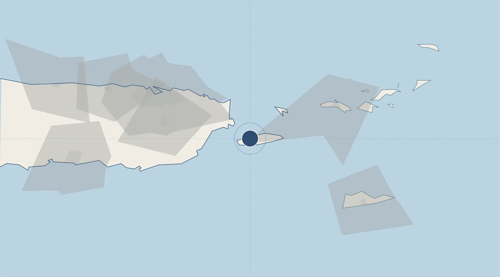
18.1348°, -65.4936°
4,301 ft
Longest runway
1
Runways
49 ft
Elevation

Runway & Layout

Antonio Rivera Rodriguez Airport runway & taxiway layout
Runway & taxiway layout — OpenStreetMap (ODbL) / OurAirports

Radio Frequencies

CTAF
123 MHz
A/D
128.65 MHz
SAN JUAN CERAP
FSS
122.2 MHz
SAN JUAN RDO
UNIC
123 MHz
UNICOM
OurAirports

Runways · 1

RunwayDimensions SurfaceTrue headingLit
09/27 4,301 × 75ft Asphalt 077°
OurAirports

Airport Specifications

IATA code
VQS
OurAirports
ICAO code
TJVQ
OurAirports
Airport class
Medium airport
OurAirports
Scheduled service
Yes
OurAirports
Runway surface
Asphalt
OurAirports
Served city
Vieques
OurAirports

Location

Location of TJVQ
Natural Earth 10m (public domain) · Puerto Rico · TJVQ · 18.13, -65.49GoogleOSMYandex

Nearby Logistics Neighbours

Airports
  1. 1José Aponte de la Torre Airport20 km
  2. 2Benjamin Rivera Noriega Airport28 km
  3. 3Cyril E. King Airport59 km
  4. 4Charlotte Amalie Harbor Seaplane Base63 km
  5. 5Luis Munoz Marin International Airport64 km
Nearest neighbours — logibook spatial index (haversine) over the source coordinates
Cities
  1. 1Puerto Yabucoa37 km
  2. 2Río Grande43 km
  3. 3Las Pinas47 km
  4. 4Trujillo Bajo, Carolina55 km
  5. 5Charlotte Amalie, Saint Thomas62 km
Nearest neighbours — logibook spatial index (haversine) over the source coordinates
Ports
  1. 1Bahia De Fajardo27 km
  2. 2Playa De Humacao27 km
  3. 3Puerto Yabucoa37 km
  4. 4Arroyo63 km
  5. 5Charlotte Amalie64 km
Nearest neighbours — logibook spatial index (haversine) over the source coordinates
Trade Zones
  1. 1FTZ No. 061 San Juan73 km
  2. 2FTZ No. 163 Ponce113 km
  3. 3FTZ No. 007 Mayaguez177 km
  4. 4Punta Cana Airport307 km
  5. 5Zona Franca Industrial Higuey343 km
Nearest neighbours — logibook spatial index (haversine) over the source coordinates
DatabookThe Record of Consolidated Knowledge
Puerto Rico beyond logistics?
Browse databook

All Sources

AirportsOurAirports
Public domain
Portsthe NGA World Port Index
Public domain (US gov)
LocationsUN/LOCODE
UN/LOCODE — free
Trade Zonesthe World Bank SEZ database
CC BY 4.0
Trade ZonesOpen Zone Map
CC BY
← Puerto Rico airports