Export Processing Zone · Philippines

Fast Logistics Distribution Center Active
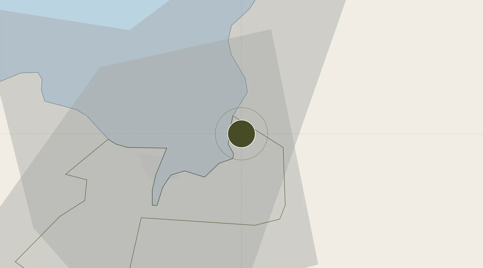
8.5358°, 124.7655°
10 ha
Zone area
2.7 km
Nearest port
35.0 km
Nearest airport

Gateway access

Nearest neighbours — logibook spatial index (haversine) over the source coordinates

Zone profile

Zone type
Export Processing Zone
Open Zone Map
Region
Cagayan de Oro
Open Zone Map
Status
Active
Open Zone Map
Management
Private
Open Zone Map
Operator
FAST Logistics Group
Open Zone Map
Legal framework
Special Economic Zone Act (Republic Act No. 7916) (as amended by Republic Act No. 8748)
Open Zone Map

Location

Location of ozm-3237
Natural Earth 10m (public domain) · Cagayan de Oro · ozm-3237 · 8.54, 124.77GoogleOSMYandex

Nearby Logistics Neighbours

Ports
  1. 1Bugo3 km
  2. 2Villanueva5 km
  3. 3Cagayan De Oro12 km
  4. 4Gingoog50 km
  5. 5Iligan68 km
Nearest neighbours — logibook spatial index (haversine) over the source coordinates
Airports
  1. 1Laguindingan International Airport35 km
  2. 2Camiguin Airport80 km
  3. 3Bancasi Airport91 km
  4. 4Labo Airport109 km
  5. 5Dipolog Airport157 km
Nearest neighbours — logibook spatial index (haversine) over the source coordinates
Cities
  1. 1Tagoloan2 km
  2. 2Cagayan de Oro, Mindanao6 km
  3. 3Jasaan13 km
  4. 4Opol22 km
  5. 5Balingasag24 km
Nearest neighbours — logibook spatial index (haversine) over the source coordinates
Trade Zones
  1. 1Phividec Industrial Estate-Economic Zone 1 km
  2. 2Philippine Packing Agricultural Export Processing Zone3 km
  3. 3Alwana Business Park10 km
  4. 4Jasaan Misamis Oriental Ecozone11 km
  5. 5Robinsons Cagayan de Oro14 km
Nearest neighbours — logibook spatial index (haversine) over the source coordinates
DatabookThe Record of Consolidated Knowledge
Philippines beyond logistics?
Browse databook

All Sources

Trade ZonesOpen Zone Map
CC BY
Portsthe NGA World Port Index
Public domain (US gov)
AirportsOurAirports
Public domain
LocationsUN/LOCODE
UN/LOCODE — free
← Philippines trade zones