Diversified Zone · Philippines

Alwana Business Park Active
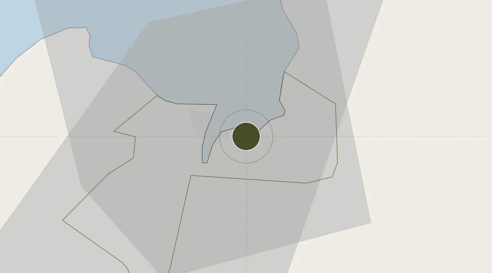
8.4697°, 124.6987°
120 ha
Zone area
4.9 km
Nearest port
31.0 km
Nearest airport

Gateway access

Nearest neighbours — logibook spatial index (haversine) over the source coordinates

Zone profile

Zone type
Diversified Zone
Open Zone Map
Region
Cagayan de Oro
Open Zone Map
Status
Active
Open Zone Map
Management
Public-Private Partnership
Open Zone Map
Operator
Phividec Industrial Authority (Developed by AJ Land Construction & Development Corp.)
Open Zone Map
Legal framework
Special Economic Zone Act (Republic Act No. 7916) (as amended by Republic Act No. 8748)
Open Zone Map

Location

Location of ozm-3189
Natural Earth 10m (public domain) · Cagayan de Oro · ozm-3189 · 8.47, 124.70GoogleOSMYandex

Nearby Logistics Neighbours

Ports
  1. 1Cagayan De Oro5 km
  2. 2Bugo8 km
  3. 3Villanueva15 km
  4. 4Iligan58 km
  5. 5Gingoog60 km
Nearest neighbours — logibook spatial index (haversine) over the source coordinates
Airports
  1. 1Laguindingan International Airport31 km
  2. 2Camiguin Airport87 km
  3. 3Labo Airport100 km
  4. 4Bancasi Airport101 km
  5. 5Dipolog Airport150 km
Nearest neighbours — logibook spatial index (haversine) over the source coordinates
Cities
  1. 1Cagayan de Oro, Mindanao5 km
  2. 2Tagoloan8 km
  3. 3Opol15 km
  4. 4Jasaan21 km
  5. 5Balingasag33 km
Nearest neighbours — logibook spatial index (haversine) over the source coordinates
Trade Zones
  1. 1Robinsons Cagayan de Oro5 km
  2. 2Limketkai IT Center5 km
  3. 3Limketkai Mall Module-2 BPO & Cyberpark Buildin5 km
  4. 4SM CDO Downtown Tower5 km
  5. 5One Providence (BPO)6 km
Nearest neighbours — logibook spatial index (haversine) over the source coordinates
DatabookThe Record of Consolidated Knowledge
Philippines beyond logistics?
Browse databook

All Sources

Trade ZonesOpen Zone Map
CC BY
Portsthe NGA World Port Index
Public domain (US gov)
AirportsOurAirports
Public domain
LocationsUN/LOCODE
UN/LOCODE — free
← Philippines trade zones