Transport Functions
Port
Road
Hub Profile
Place type
District seat
Region
Northern Mindanao
Population
9,722
Time zone
Asia/Manila
Elevation
3 m
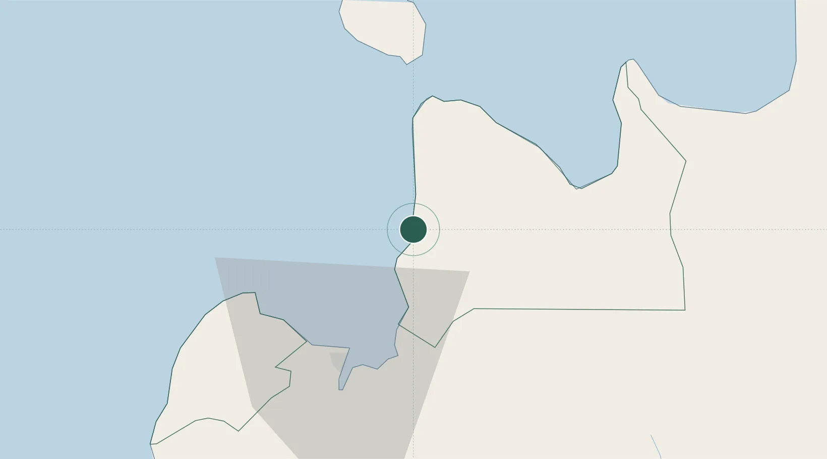
Location
Nearby Logistics Neighbours
Cities
- 1Jasaan12 km
- 2Mabini, Mindanao22 km
- 3Tagoloan26 km
- 4Cagayan de Oro, Mindanao28 km
- 5Medina32 km
Ports
- 1Villanueva19 km
- 2Bugo26 km
- 3Cagayan De Oro31 km
- 4Gingoog36 km
- 5Nasipit Port66 km
Airports
- 1Laguindingan International Airport39 km
- 2Camiguin Airport57 km
- 3Bancasi Airport80 km
- 4Labo Airport122 km
- 5Surigao Airport136 km
DatabookThe Record of Consolidated Knowledge
Philippines beyond logistics?