Export Processing Zone · Philippines

Philippine Packing Agricultural Export Processing Zone Active
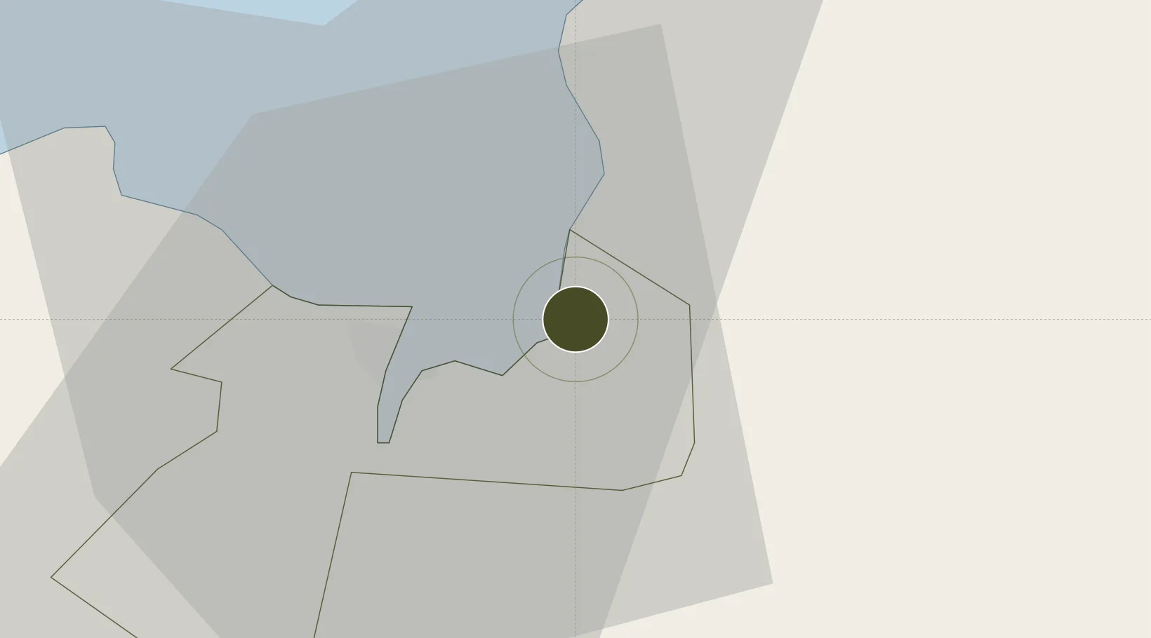
8.5073°, 124.7566°
27 ha
Zone area
1.3 km
Nearest port
35.0 km
Nearest airport

Gateway access

Nearest neighbours — logibook spatial index (haversine) over the source coordinates

Zone profile

Zone type
Export Processing Zone
Open Zone Map
Region
Cagayan de Oro
Open Zone Map
Status
Active
Open Zone Map
Management
Private
Open Zone Map
Operator
Del Monte Philippines, Inc.
Open Zone Map
Legal framework
Special Economic Zone Act (Republic Act No. 7916) (as amended by Republic Act No. 8748)
Open Zone Map

Location

Location of ozm-3244
Natural Earth 10m (public domain) · Cagayan de Oro · ozm-3244 · 8.51, 124.76GoogleOSMYandex

Nearby Logistics Neighbours

Ports
  1. 1Bugo1 km
  2. 2Villanueva9 km
  3. 3Cagayan De Oro10 km
  4. 4Gingoog52 km
  5. 5Iligan65 km
Nearest neighbours — logibook spatial index (haversine) over the source coordinates
Airports
  1. 1Laguindingan International Airport35 km
  2. 2Camiguin Airport83 km
  3. 3Bancasi Airport94 km
  4. 4Labo Airport107 km
  5. 5Dipolog Airport156 km
Nearest neighbours — logibook spatial index (haversine) over the source coordinates
Cities
  1. 1Tagoloan2 km
  2. 2Cagayan de Oro, Mindanao4 km
  3. 3Jasaan16 km
  4. 4Opol21 km
  5. 5Balingasag27 km
Nearest neighbours — logibook spatial index (haversine) over the source coordinates
Trade Zones
  1. 1Phividec Industrial Estate-Economic Zone 2 km
  2. 2Fast Logistics Distribution Center3 km
  3. 3Alwana Business Park8 km
  4. 4Robinsons Cagayan de Oro12 km
  5. 5Limketkai IT Center12 km
Nearest neighbours — logibook spatial index (haversine) over the source coordinates
DatabookThe Record of Consolidated Knowledge
Philippines beyond logistics?
Browse databook

All Sources

Trade ZonesOpen Zone Map
CC BY
Portsthe NGA World Port Index
Public domain (US gov)
AirportsOurAirports
Public domain
LocationsUN/LOCODE
UN/LOCODE — free
← Philippines trade zones