Transport Functions
Port
Road
Hub Profile
Place type
District seat
Region
Northern Mindanao
Population
16,435
Time zone
Asia/Manila
Elevation
31 m
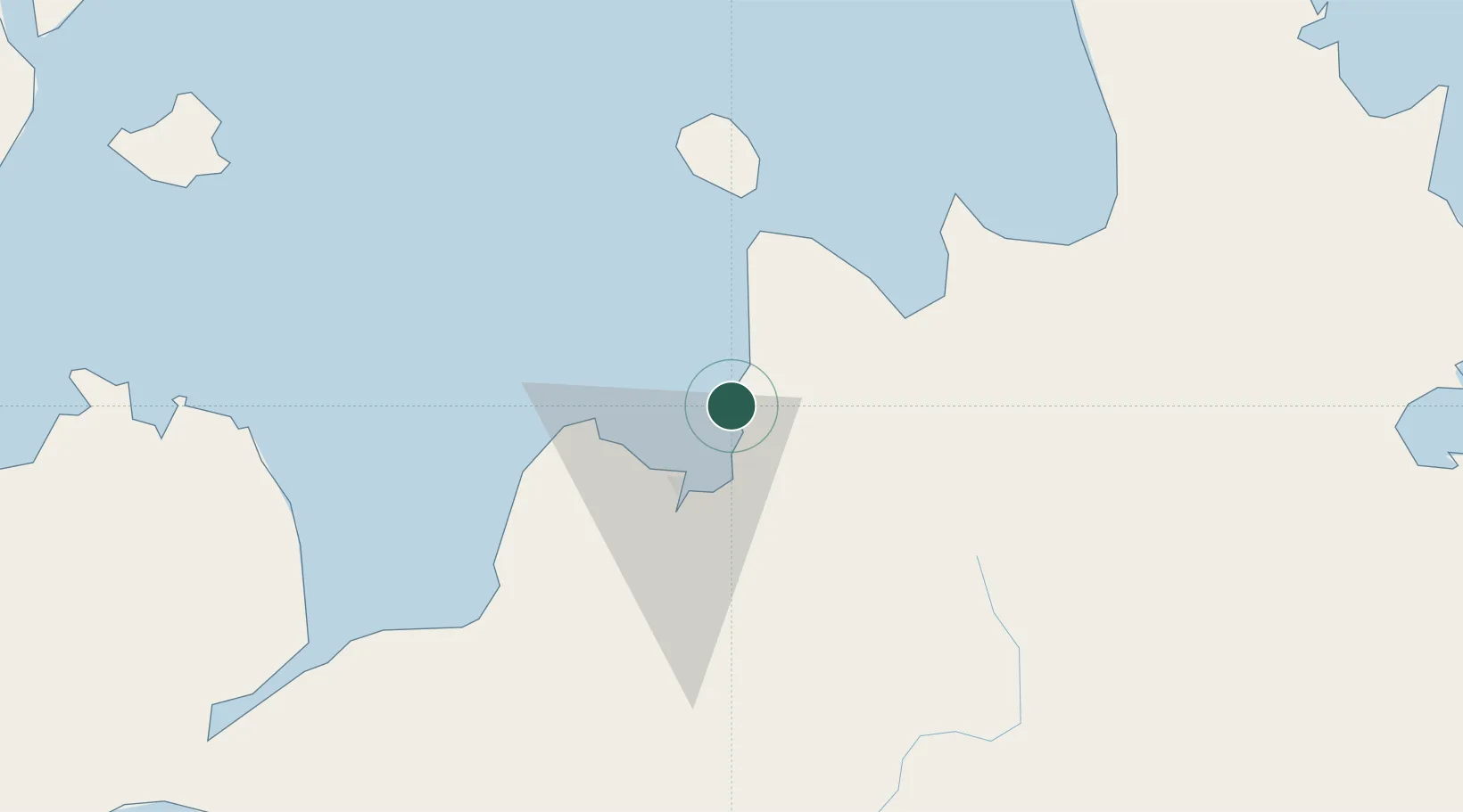
Location
Nearby Logistics Neighbours
Cities
- 1Balingasag12 km
- 2Tagoloan14 km
- 3Cagayan de Oro, Mindanao16 km
- 4Opol25 km
- 5Mabini, Mindanao34 km
Ports
- 1Villanueva8 km
- 2Bugo15 km
- 3Cagayan De Oro19 km
- 4Gingoog44 km
- 5Iligan73 km
Airports
- 1Laguindingan International Airport33 km
- 2Camiguin Airport67 km
- 3Bancasi Airport87 km
- 4Labo Airport113 km
- 5Surigao Airport147 km
DatabookThe Record of Consolidated Knowledge
Philippines beyond logistics?