Transport Functions
Rail
Road
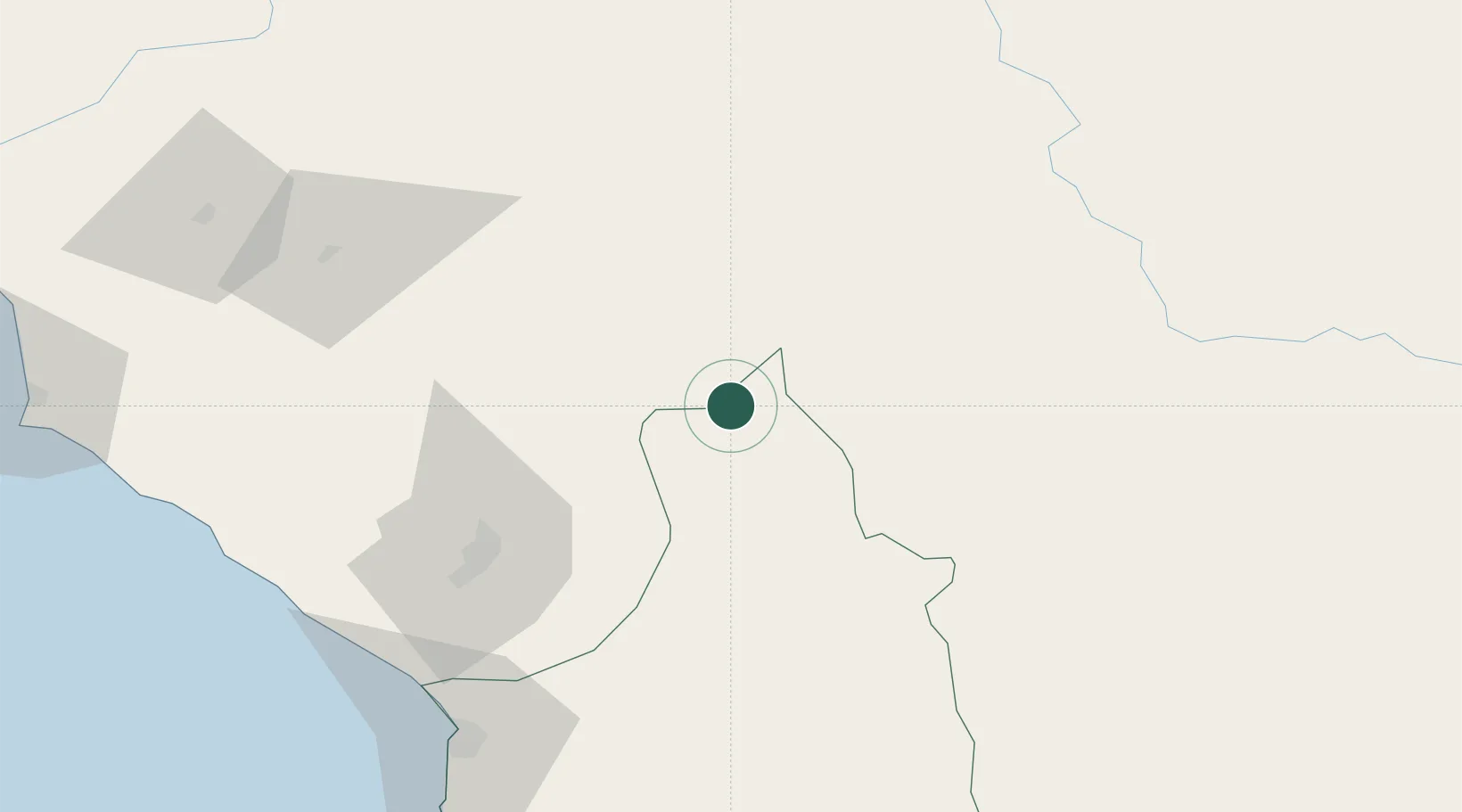
Hub Profile
Place type
Populated place
Region
Arica y Parinacota Region
Population
684
Time zone
America/Santiago
Elevation
4,264 m
Location
Nearby Logistics Neighbours
Cities
- 1Arica114 km
- 2Guaqui144 km
- 3Bavaro172 km
- 4Copacabana177 km
- 5Ilo182 km
Ports
- 1Rada De Arica117 km
- 2Puerto Ilo184 km
- 3Bahia De Matarani273 km
- 4Iquique289 km
- 5Caleta Patillos348 km
Airports
DatabookThe Record of Consolidated Knowledge
Chile beyond logistics?