Transport Functions
Port
Hub Profile
Place type
Populated place
Region
Tarapacá
Population
443
Time zone
America/Santiago
Elevation
11 m
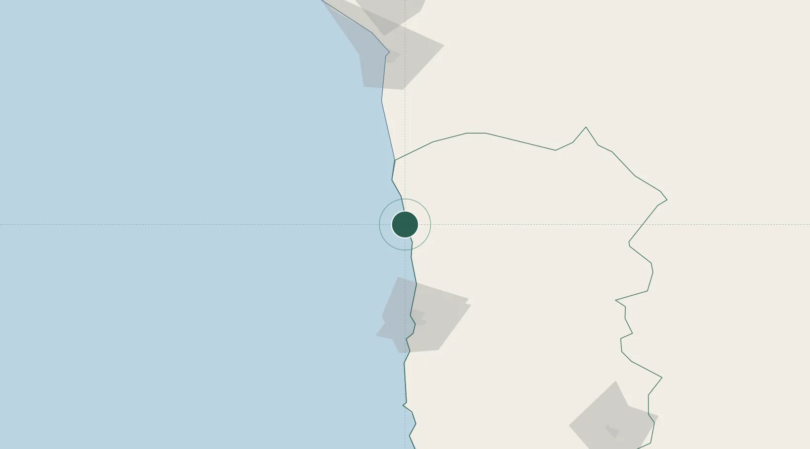
Location
Nearby Logistics Neighbours
Cities
- 1Iquique70 km
- 2Guayubín117 km
- 3Caleta Patillos128 km
- 4Patillos128 km
- 5Arica128 km
Ports
- 1Iquique67 km
- 2Caleta Patillos126 km
- 3Rada De Arica127 km
- 4Puerto Ilo251 km
- 5Tocopilla276 km
Airports
DatabookThe Record of Consolidated Knowledge
Chile beyond logistics?