UN/LOCODE hub · Dominican Republic
DOGYB

Guayubín

-19.6167°, -71.3167°
1
Transport functions

Transport Functions

Rail
UN/LOCODE

Hub Profile

Region
15
GeoNames

Location

Location of DOGYB
Natural Earth 10m (public domain) · 15 · DOGYB · -19.62, -71.32GoogleOSMYandex

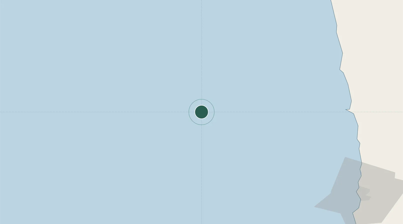
Nearby Logistics Neighbours

Cities
  1. 1Pisagua117 km
  2. 2Iquique141 km
  3. 3Arica168 km
  4. 4Caleta Patillos172 km
  5. 5Patillos173 km
Nearest neighbours — logibook spatial index (haversine) over the source coordinates
Ports
  1. 1Iquique137 km
  2. 2Rada De Arica164 km
  3. 3Caleta Patillos170 km
  4. 4Puerto Ilo221 km
  5. 5Tocopilla297 km
Nearest neighbours — logibook spatial index (haversine) over the source coordinates
Airports
  1. 1Diego Aracena International Airport157 km
  2. 2Chacalluta International Airport175 km
  3. 3Coronel FAP Carlos Ciriani Santa Rosa International Airport206 km
  4. 4General Jorge Fernandez Maldon Airport214 km
  5. 5Barriles Airport309 km
Nearest neighbours — logibook spatial index (haversine) over the source coordinates
DatabookThe Record of Consolidated Knowledge
Dominican Republic beyond logistics?
Browse databook

All Sources

LocationsUN/LOCODE
UN/LOCODE — free
Portsthe NGA World Port Index
Public domain (US gov)
AirportsOurAirports
Public domain
Trade Zonesthe World Bank SEZ database
CC BY 4.0
Trade ZonesOpen Zone Map
CC BY
← Dominican Republic locations