Transport Functions
Multimodal
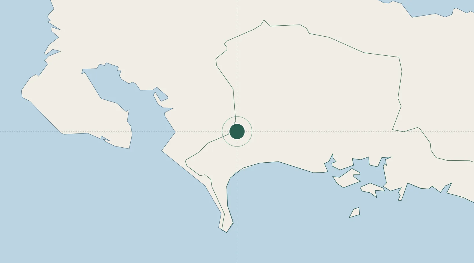
Hub Profile
Place type
Populated place
Region
Chiriquí Province
Population
2,211
Time zone
America/Panama
Elevation
24 m
Location
Nearby Logistics Neighbours
Ports
- 1Puerto Armuelles21 km
- 2Charco Azul26 km
- 3Golfito42 km
- 4Pedregal45 km
- 5Chiriqui Grande96 km
Airports
- 1Coto 47 Airport23 km
- 2Enrique Malek International Airport44 km
- 3Golfito Airport45 km
- 4Puerto Jimenez Airport52 km
- 5Palmar Sur Airport89 km
Trade Zones
DatabookThe Record of Consolidated Knowledge
Panama beyond logistics?