Channel & Berth Profile
Pilotage, Tugs & Services
Pilotage compulsoryNO
Pilotage availableYES
Tug assistanceNO
Salvage tugsNO
Potable waterYES
Diesel bunkersYES
MedicalYES
Garbage disposalYES
Facilities & Capabilities
Container—
Ro-Ro—
Liquid bulk—
Dry bulk—
Oil terminal—
Break bulk—
Dry dock—
RepairsNO
BunkeringYES
Rail linkYES
Dangerous cargo—
ISPS security—
Harbour Specifications
Harbour size
Small
Harbour type
Coastal (Natural)
Shelter
Good
Water body
North Pacific Ocean
Tidal range
3 m
Overhead limit
No
Pilotage
No
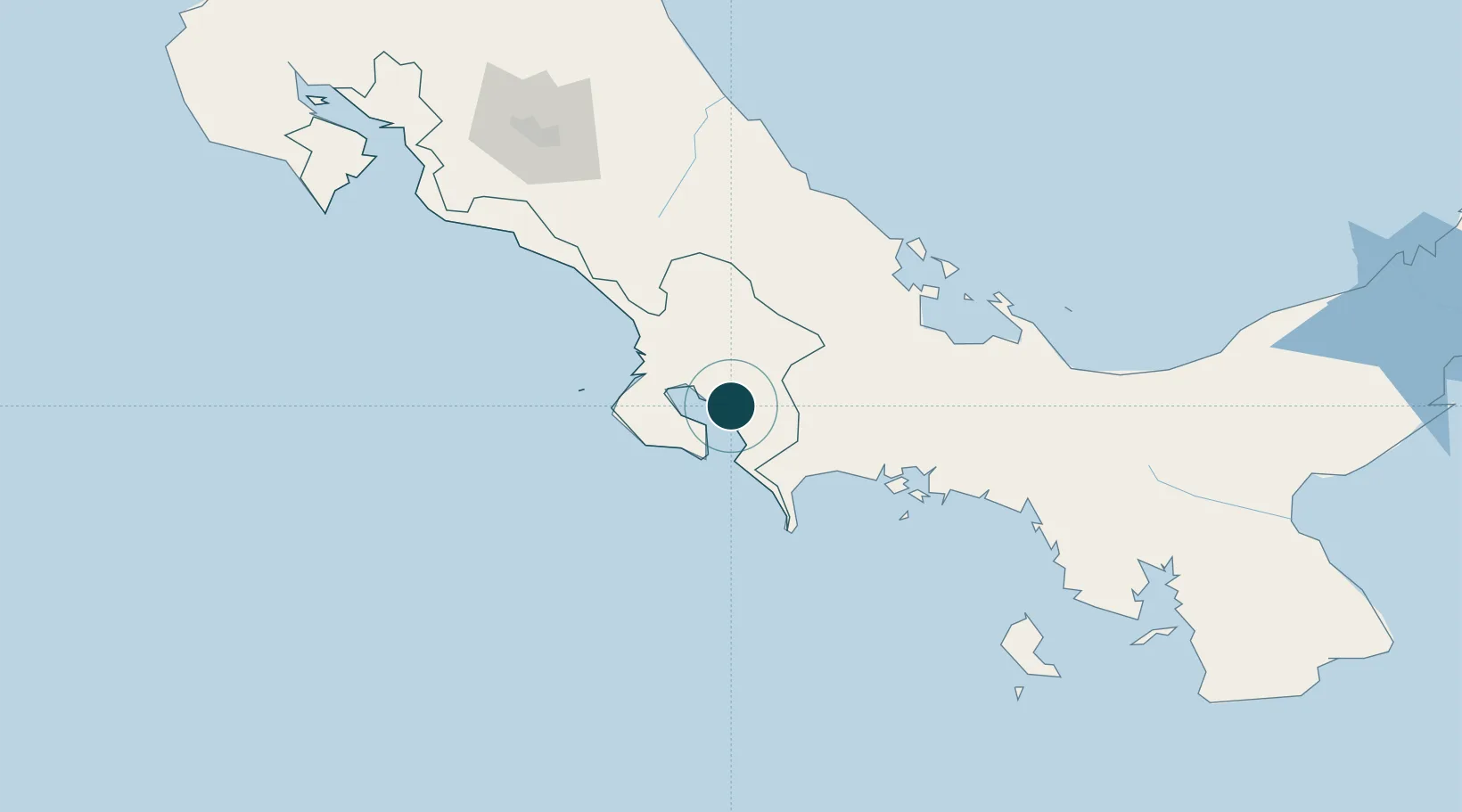
Location
Nearby Logistics Neighbours
Ports
- 1Puerto Armuelles54 km
- 2Charco Azul57 km
- 3Pedregal87 km
- 4Almirante112 km
- 5Chiriqui Grande121 km
Cities
- 1Neily26 km
- 2Laurel33 km
- 3Progreso42 km
- 4Palmar Norte50 km
- 5Bugaba63 km
Airports
- 1Golfito Airport3 km
- 2Puerto Jimenez Airport18 km
- 3Coto 47 Airport22 km
- 4Palmar Sur Airport49 km
- 5Buenos Aires Airport62 km
Trade Zones
DatabookThe Record of Consolidated Knowledge
Costa Rica beyond logistics?