Channel & Berth Profile
Pilotage, Tugs & Services
Pilotage compulsoryYES
Pilotage availableYES
Pilotage advisableYES
Local assistanceYES
Tug assistanceYES
Salvage tugsYES
Potable waterNO
Diesel bunkersNO
MedicalYES
Garbage disposalNO
Facilities & Capabilities
Container—
Ro-Ro—
Liquid bulk—
Dry bulk—
Oil terminal—
Break bulk—
Dry dock—
Repairs—
BunkeringNO
Rail link—
Dangerous cargo—
ISPS security—
Harbour Specifications
Harbour size
Small
Harbour type
Coastal (Breakwater)
Shelter
Good
Water body
Persian Gulf; Indian Ocean
Tidal range
1 m
Pilotage
Yes
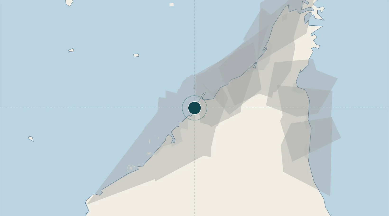
Location
Nearby Logistics Neighbours
Ports
- 1Ajman8 km
- 2Ash Shariqah15 km
- 3Umm Al Qaywayn16 km
- 4Dubayy29 km
- 5Al Jazeera Port41 km
Cities
- 1Ajman6 km
- 2Ahmed Bin Rashid Port10 km
- 3Saif Zone15 km
- 4Umm al Quwain17 km
- 5Sharjah17 km
Airports
Trade Zones
DatabookThe Record of Consolidated Knowledge
United Arab Emirates beyond logistics?