UN/LOCODE hub · United Arab Emirates
AEFJR

Al Fujayrah

25.1828°, 56.3548°
2
Transport functions
1
Container terminals

Transport Functions

Port
Airport
UN/LOCODE

Hub Profile

Region
FU
GeoNames
Logistics facilities
2
UN/LOCODE
Container terminals
1
UN/LOCODE

Location

Location of AEFJR
Natural Earth 10m (public domain) · FU · AEFJR · 25.18, 56.35GoogleOSMYandex

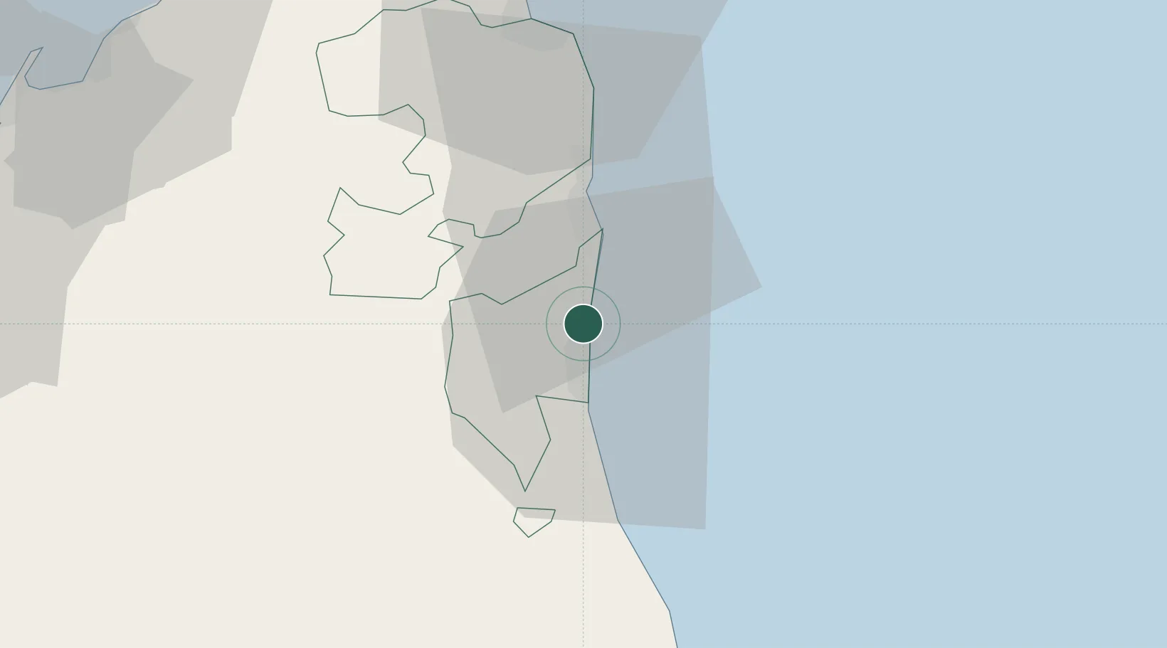
Nearby Logistics Neighbours

Cities
  1. 1Kalba13 km
  2. 2Khor al Fakkan20 km
  3. 3Dibba49 km
  4. 4Vopak Horizion Terminal49 km
  5. 5Shinas51 km
Nearest neighbours — logibook spatial index (haversine) over the source coordinates
Ports
  1. 1Khawr Fakkan20 km
  2. 2Port Of Sohar79 km
  3. 3Al Jazeera Port83 km
  4. 4Umm Al Qaywayn89 km
  5. 5Al Hamriyah Lpg Terminal93 km
Nearest neighbours — logibook spatial index (haversine) over the source coordinates
Airports
  1. 1Fujairah International Airport9 km
  2. 2Ras Al Khaimah International Airport64 km
  3. 3Sharjah International Airport86 km
  4. 4Suhar International Airport93 km
  5. 5Dubai International Airport99 km
Nearest neighbours — logibook spatial index (haversine) over the source coordinates
Trade Zones
  1. 1Fujairah Free Zone2 km
  2. 2Fujairah Creative City7 km
  3. 3RAKEZ Al Ghail Industrial Zone46 km
  4. 4Sharjah Media City Free Zone (Shams)69 km
  5. 5RAKEZ Academic Zone77 km
Nearest neighbours — logibook spatial index (haversine) over the source coordinates
DatabookThe Record of Consolidated Knowledge
United Arab Emirates beyond logistics?
Browse databook

All Sources

LocationsUN/LOCODE
UN/LOCODE — free
Portsthe NGA World Port Index
Public domain (US gov)
AirportsOurAirports
Public domain
Trade Zonesthe World Bank SEZ database
CC BY 4.0
Trade ZonesOpen Zone Map
CC BY
← United Arab Emirates locations