UN/LOCODE hub · United Arab Emirates
AEKLB
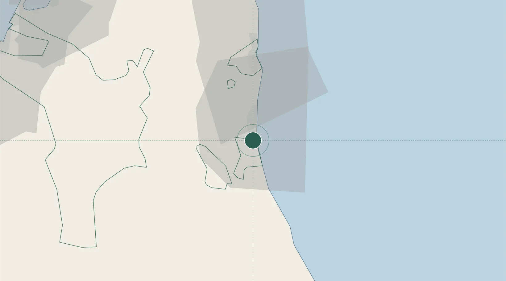
Kalba
25.0667°, 56.3500°
37,545
Population
2
Transport functions
Transport Functions
Port
Road
Hub Profile
Place type
Populated place
Region
Sharjah
Population
37,545
Time zone
Asia/Dubai
Elevation
15 m
Location
Nearby Logistics Neighbours
Cities
- 1Al Fujayrah13 km
- 2Khor al Fakkan33 km
- 3Shinas39 km
- 4Dibba62 km
- 5Vopak Horizion Terminal62 km
Ports
- 1Khawr Fakkan33 km
- 2Port Of Sohar68 km
- 3Al Jazeera Port92 km
- 4Umm Al Qaywayn96 km
- 5Al Hamriyah Lpg Terminal98 km
Airports
Trade Zones
DatabookThe Record of Consolidated Knowledge
United Arab Emirates beyond logistics?