UN/LOCODE hub · United Arab Emirates
AEKLF
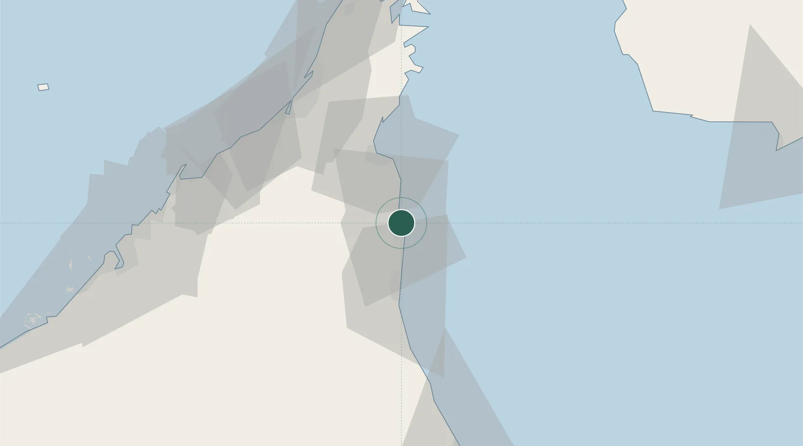
Khor al Fakkan
25.3655°, 56.3715°
1
Transport functions
1
Container terminals
Transport Functions
Port
Hub Profile
Logistics facilities
2
Container terminals
1
Location
Nearby Logistics Neighbours
Cities
- 1Al Fujayrah20 km
- 2Dibba30 km
- 3Vopak Horizion Terminal30 km
- 4Kalba33 km
- 5Rak Khor Port66 km
Ports
- 1Al Jazeera Port71 km
- 2Mina Saqr76 km
- 3Hulaylah Oil Terminal82 km
- 4Umm Al Qaywayn83 km
- 5Al Hamriyah Lpg Terminal90 km
Airports
Trade Zones
- 1Fujairah Free Zone22 km
- 2Fujairah Creative City28 km
- 3RAKEZ Al Ghail Industrial Zone40 km
- 4RAKEZ Academic Zone63 km
- 5RAKEZ Al Hamra Industrial Zone68 km
DatabookThe Record of Consolidated Knowledge
United Arab Emirates beyond logistics?