Channel & Berth Profile
Pilotage, Tugs & Services
Local assistanceYES
Shore powerYES
Potable waterYES
Diesel bunkersYES
MedicalYES
Garbage disposalNO
Facilities & Capabilities
Container—
Ro-Ro—
Liquid bulk—
Dry bulk—
Oil terminal—
Break bulk—
Dry dock—
RepairsNO
BunkeringYES
Rail link—
Dangerous cargo—
ISPS security—
Harbour Specifications
Harbour size
Very Small
Harbour type
Coastal (Natural)
Shelter
Excellent
Water body
South Pacific Ocean
Tidal range
6 m
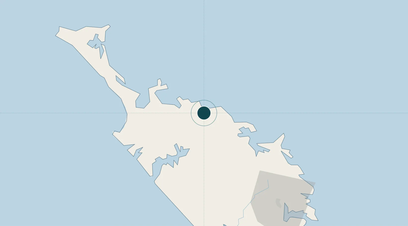
Location
Nearby Logistics Neighbours
Ports
- 1Opua44 km
- 2Whangarei103 km
- 3Auckland220 km
- 4Manukau Harbor229 km
- 5Tauranga359 km
Airports
- 1Kerikeri Airport27 km
- 2Kaitaia Airport44 km
- 3Whangarei Airport97 km
- 4Okiwi Station Airport193 km
- 5Great Barrier Aerodrome203 km
Trade Zones
- 1Hicks Bay Area Special Economic Zone483 km
- 2Rotuma-Kadavu Tax-Free Region1935 km
- 3Kalabu Tax Free Zone1943 km
- 4Nausori-Ba Tax-Free Region1950 km
- 5Lautoka Special Zone1972 km
DatabookThe Record of Consolidated Knowledge
New Zealand beyond logistics?