Transport Functions
Port
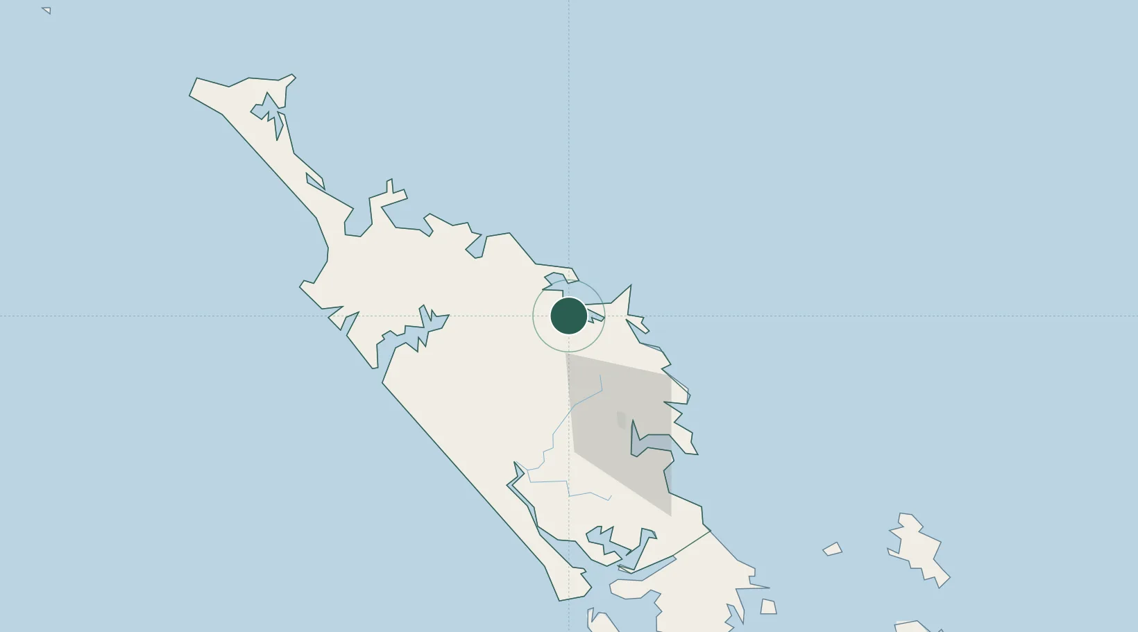
Hub Profile
Place type
Populated place
Region
Northland
Population
1,280
Time zone
Pacific/Auckland
Elevation
20 m
Location
Nearby Logistics Neighbours
Ports
- 1Whangaroa44 km
- 2Whangarei61 km
- 3Auckland180 km
- 4Manukau Harbor190 km
- 5Tauranga316 km
Airports
- 1Kerikeri Airport20 km
- 2Whangarei Airport55 km
- 3Kaitaia Airport80 km
- 4Okiwi Station Airport149 km
- 5Great Barrier Aerodrome160 km
Trade Zones
- 1Hicks Bay Area Special Economic Zone440 km
- 2Rotuma-Kadavu Tax-Free Region1956 km
- 3Kalabu Tax Free Zone1963 km
- 4Nausori-Ba Tax-Free Region1971 km
- 5Lautoka Special Zone1995 km
DatabookThe Record of Consolidated Knowledge
New Zealand beyond logistics?