UN/LOCODE hub · New Zealand
NZWRE
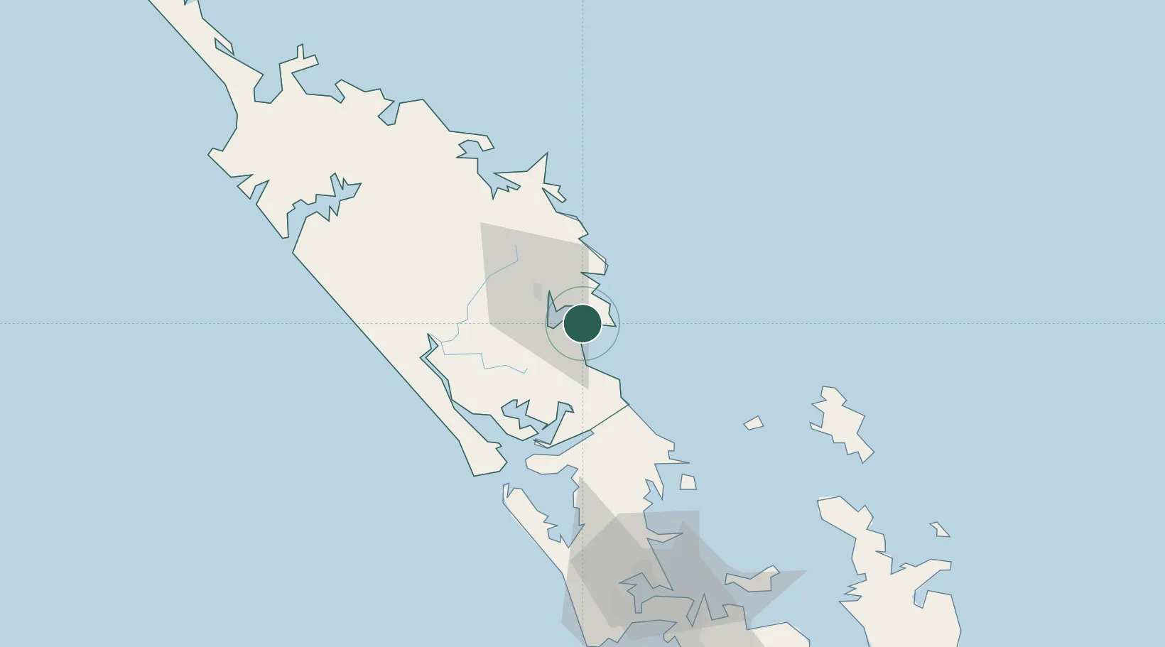
Whangarei
-35.8333°, 174.4833°
50,900
Population
3
Transport functions
Transport Functions
Port
Road
Airport
Hub Profile
Place type
Regional capital
Region
Northland
Population
50,900
Time zone
Pacific/Auckland
Elevation
7 m
Location
Nearby Logistics Neighbours
Cities
- 1Marsden Point2 km
- 2Portland16 km
- 3Maungaturoto32 km
- 4Opua66 km
- 5Russel71 km
Ports
- 1Opua66 km
- 2Whangaroa109 km
- 3Auckland116 km
- 4Manukau Harbor125 km
- 5Tauranga250 km
Airports
- 1Whangarei Airport13 km
- 2Kerikeri Airport82 km
- 3Okiwi Station Airport91 km
- 4Great Barrier Aerodrome100 km
- 5RNZAF Base Auckland-Whenuapai107 km
Trade Zones
- 1Hicks Bay Area Special Economic Zone380 km
- 2Rotuma-Kadavu Tax-Free Region2005 km
- 3Kalabu Tax Free Zone2012 km
- 4Nausori-Ba Tax-Free Region2020 km
- 5Lautoka Special Zone2046 km
DatabookThe Record of Consolidated Knowledge
New Zealand beyond logistics?