Transport Functions
Port
Road
Hub Profile
Place type
Populated place
Region
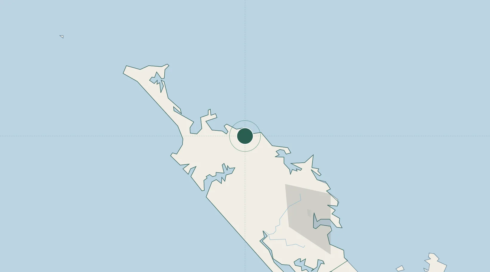
Northland
Time zone
Pacific/Auckland
Elevation
154 m
Location
Nearby Logistics Neighbours
Ports
- 1Opua46 km
- 2Whangarei105 km
- 3Auckland222 km
- 4Manukau Harbor231 km
- 5Tauranga361 km
Airports
- 1Kerikeri Airport29 km
- 2Kaitaia Airport42 km
- 3Whangarei Airport99 km
- 4Okiwi Station Airport195 km
- 5Great Barrier Aerodrome206 km
Trade Zones
- 1Hicks Bay Area Special Economic Zone486 km
- 2Rotuma-Kadavu Tax-Free Region1934 km
- 3Kalabu Tax Free Zone1941 km
- 4Nausori-Ba Tax-Free Region1949 km
- 5Lautoka Special Zone1970 km
DatabookThe Record of Consolidated Knowledge
New Zealand beyond logistics?