Transport Functions
Port
Road
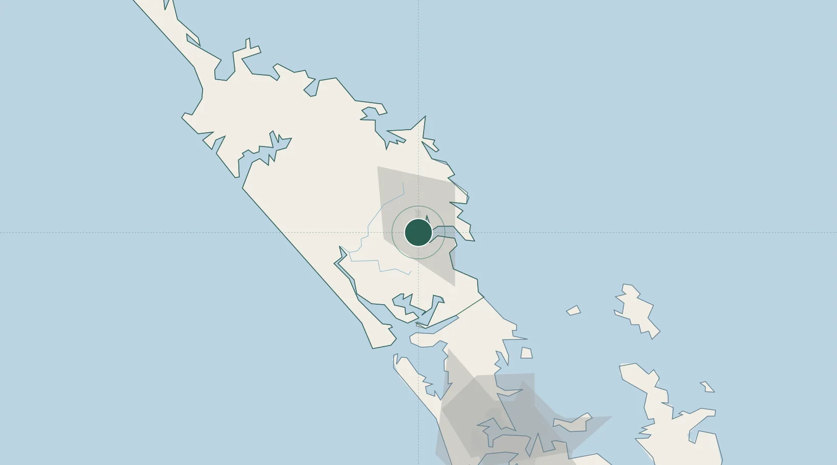
Hub Profile
Place type
Populated place
Region
Northland
Time zone
Pacific/Auckland
Elevation
68 m
Location
Nearby Logistics Neighbours
Cities
- 1Marsden Point15 km
- 2Whangarei16 km
- 3Maungaturoto34 km
- 4Opua57 km
- 5Russel62 km
Ports
- 1Whangarei11 km
- 2Opua57 km
- 3Whangaroa97 km
- 4Auckland124 km
- 5Manukau Harbor133 km
Airports
- 1Whangarei Airport5 km
- 2Kerikeri Airport70 km
- 3Okiwi Station Airport106 km
- 4RNZAF Base Auckland-Whenuapai113 km
- 5Great Barrier Aerodrome115 km
Trade Zones
- 1Hicks Bay Area Special Economic Zone395 km
- 2Rotuma-Kadavu Tax-Free Region2005 km
- 3Kalabu Tax Free Zone2011 km
- 4Nausori-Ba Tax-Free Region2019 km
- 5Lautoka Special Zone2045 km
DatabookThe Record of Consolidated Knowledge
New Zealand beyond logistics?