Medium airport · New Zealand
Kaitaia AirportNZKT
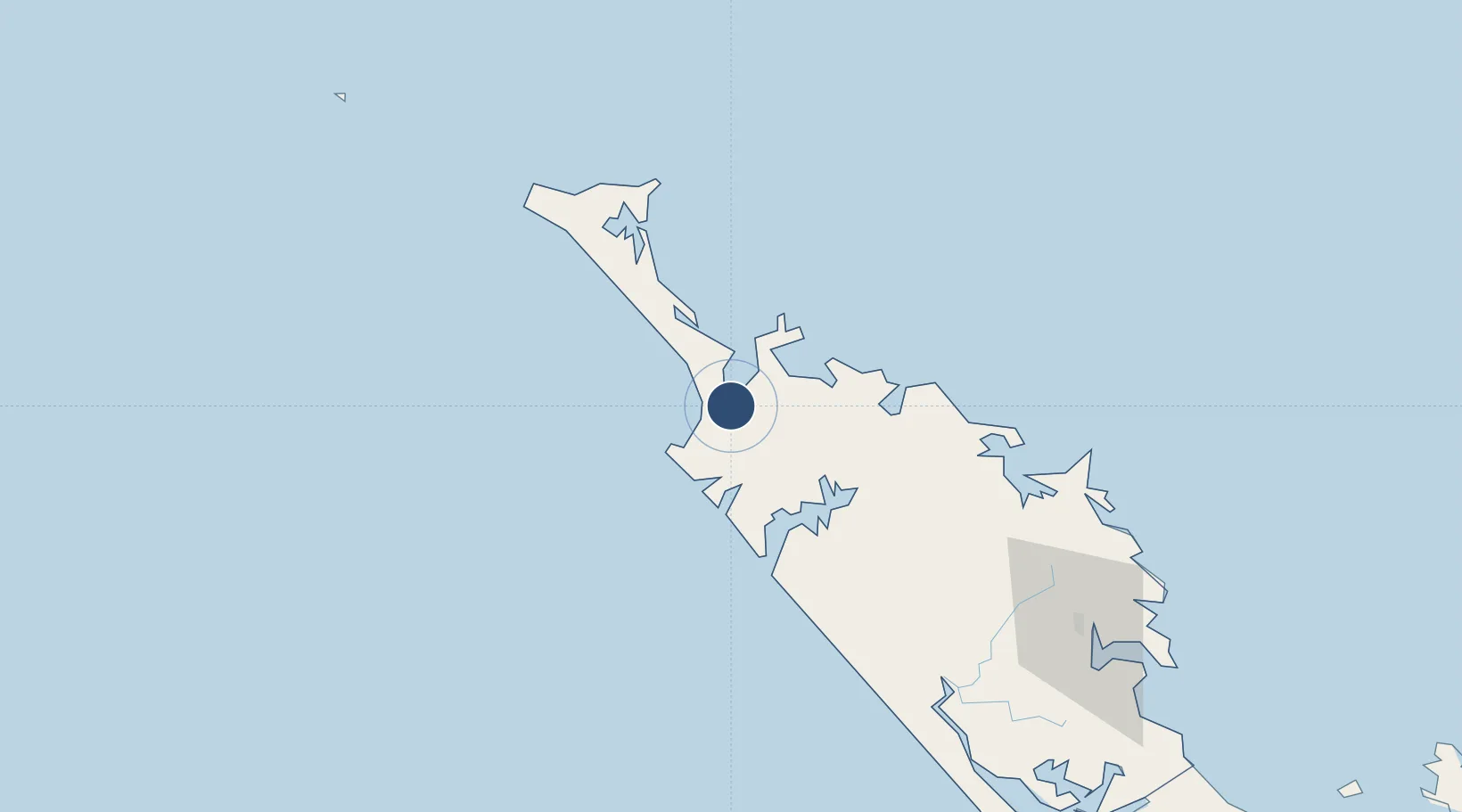
-35.0698°, 173.2871°
4,600 ft
Longest runway
2
Runways
270 ft
Elevation
Runway & Layout

Radio Frequencies
CTAF
119.1 MHz
AFIS
127.1 MHz
CHRISTCHURCH FIS
Navaids
KT NDB-DME Kaitaia 0.24 MHz
Runways · 2
| Runway | Dimensions | Surface | True heading | Lit |
|---|---|---|---|---|
| 12/30 | 4,600 × 98ft | Asphalt | 143° | ✓ |
| 18/36 | 4,190 × 98ft | Gravel | 201° | — |
Airport Specifications
IATA code
KAT
ICAO code
NZKT
Airport class
Medium airport
Scheduled service
Yes
Runway surface
Asphalt
Served city
Awanui
Location
Nearby Logistics Neighbours
Airports
- 1Kerikeri Airport61 km
- 2Whangarei Airport125 km
- 3RNZAF Base Auckland-Whenuapai226 km
- 4Okiwi Station Airport227 km
- 5Great Barrier Aerodrome237 km
Ports
- 1Whangaroa44 km
- 2Opua80 km
- 3Whangarei132 km
- 4Auckland239 km
- 5Manukau Harbor247 km
Trade Zones
- 1Hicks Bay Area Special Economic Zone517 km
- 2Rotuma-Kadavu Tax-Free Region1949 km
- 3Kalabu Tax Free Zone1957 km
- 4Nausori-Ba Tax-Free Region1965 km
- 5Lautoka Special Zone1983 km
DatabookThe Record of Consolidated Knowledge
New Zealand beyond logistics?