Transport Functions
Port
Hub Profile
Place type
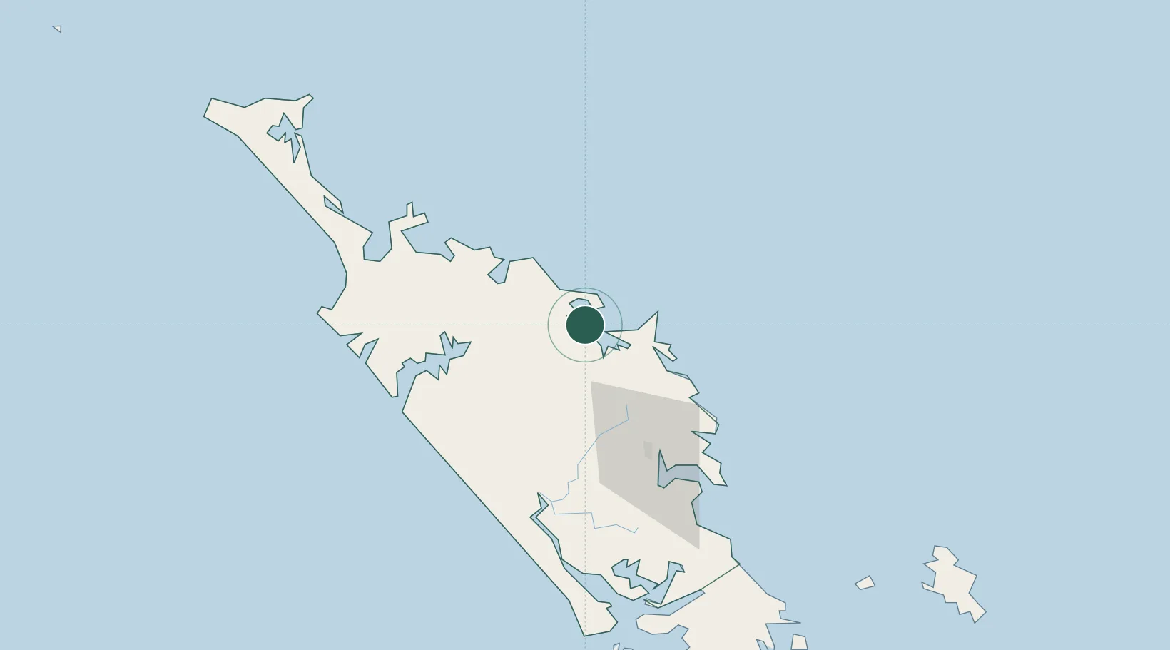
Populated place
Region
Northland
Population
795
Time zone
Pacific/Auckland
Elevation
9 m
Location
Nearby Logistics Neighbours
Ports
- 1Opua8 km
- 2Whangaroa36 km
- 3Whangarei69 km
- 4Auckland188 km
- 5Manukau Harbor198 km
Airports
- 1Kerikeri Airport16 km
- 2Whangarei Airport63 km
- 3Kaitaia Airport75 km
- 4Okiwi Station Airport157 km
- 5Great Barrier Aerodrome167 km
Trade Zones
- 1Hicks Bay Area Special Economic Zone447 km
- 2Rotuma-Kadavu Tax-Free Region1950 km
- 3Kalabu Tax Free Zone1957 km
- 4Nausori-Ba Tax-Free Region1965 km
- 5Lautoka Special Zone1988 km
DatabookThe Record of Consolidated Knowledge
New Zealand beyond logistics?