Transport Functions
Port
Road
Hub Profile
Region
NTL
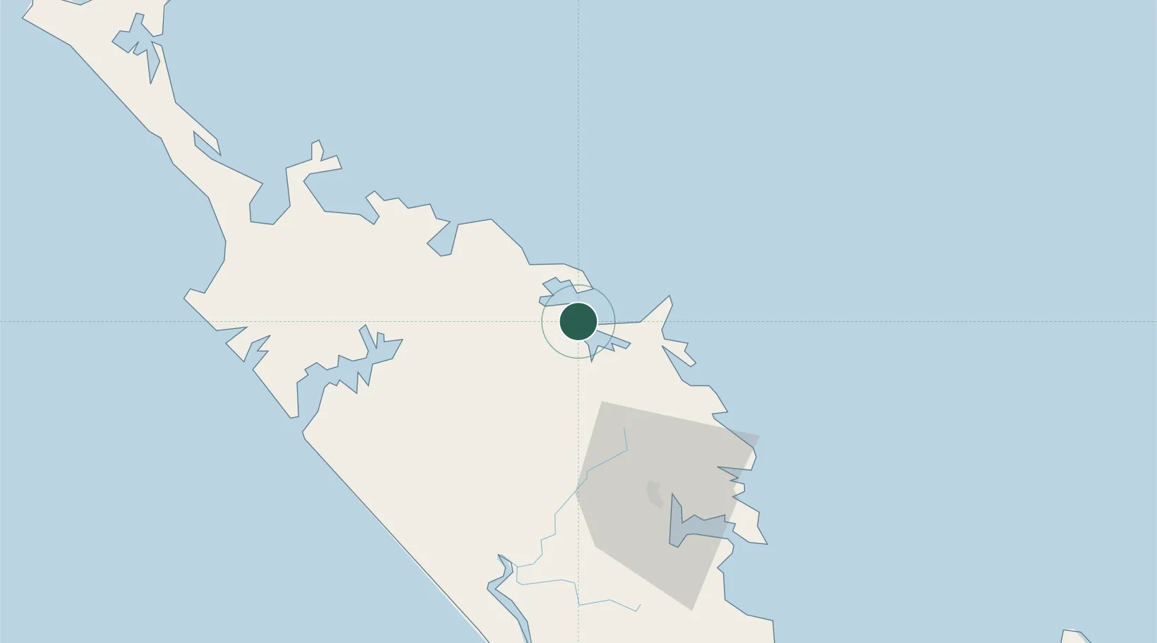
Location
Nearby Logistics Neighbours
Ports
- 1Opua6 km
- 2Whangaroa40 km
- 3Whangarei66 km
- 4Auckland186 km
- 5Manukau Harbor195 km
Airports
- 1Kerikeri Airport19 km
- 2Whangarei Airport60 km
- 3Kaitaia Airport79 km
- 4Okiwi Station Airport153 km
- 5Great Barrier Aerodrome163 km
Trade Zones
- 1Hicks Bay Area Special Economic Zone443 km
- 2Rotuma-Kadavu Tax-Free Region1951 km
- 3Kalabu Tax Free Zone1958 km
- 4Nausori-Ba Tax-Free Region1966 km
- 5Lautoka Special Zone1989 km
DatabookThe Record of Consolidated Knowledge
New Zealand beyond logistics?