Small airport · New Zealand
Okiwi Station AirportNZOX
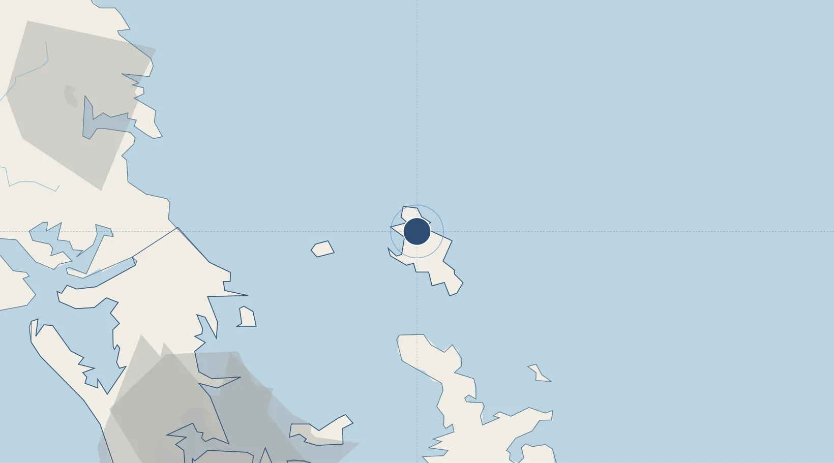
-36.1464°, 175.4190°
2,644 ft
Longest runway
1
Runways
10 ft
Elevation
Runway & Layout

Runways · 1
| Runway | Dimensions | Surface | True heading | Lit |
|---|---|---|---|---|
| 18/36 | 2,644 × 30ft | Sealed | — | — |
Airport Specifications
ICAO code
NZOX
Airport class
Small airport
Scheduled service
Yes
Runway surface
Sealed
Location
Nearby Logistics Neighbours
Airports
- 1Great Barrier Aerodrome12 km
- 2RNZAF Base Auckland-Whenuapai100 km
- 3Whangarei Airport104 km
- 4Ardmore Airport106 km
- 5Auckland International Airport112 km
Cities
- 1Whangaparapara10 km
- 2Tryphena18 km
- 3Waiheke Island78 km
- 4Whangaparaoa80 km
- 5Matiatia Bay80 km
Ports
- 1Whangarei97 km
- 2Auckland98 km
- 3Manukau Harbor104 km
- 4Opua149 km
- 5Tauranga178 km
Trade Zones
- 1Hicks Bay Area Special Economic Zone291 km
- 2Rotuma-Kadavu Tax-Free Region2024 km
- 3Kalabu Tax Free Zone2030 km
- 4Nausori-Ba Tax-Free Region2038 km
- 5Lautoka Special Zone2070 km
DatabookThe Record of Consolidated Knowledge
New Zealand beyond logistics?