Medium airport · New Zealand
Kerikeri AirportNZKK
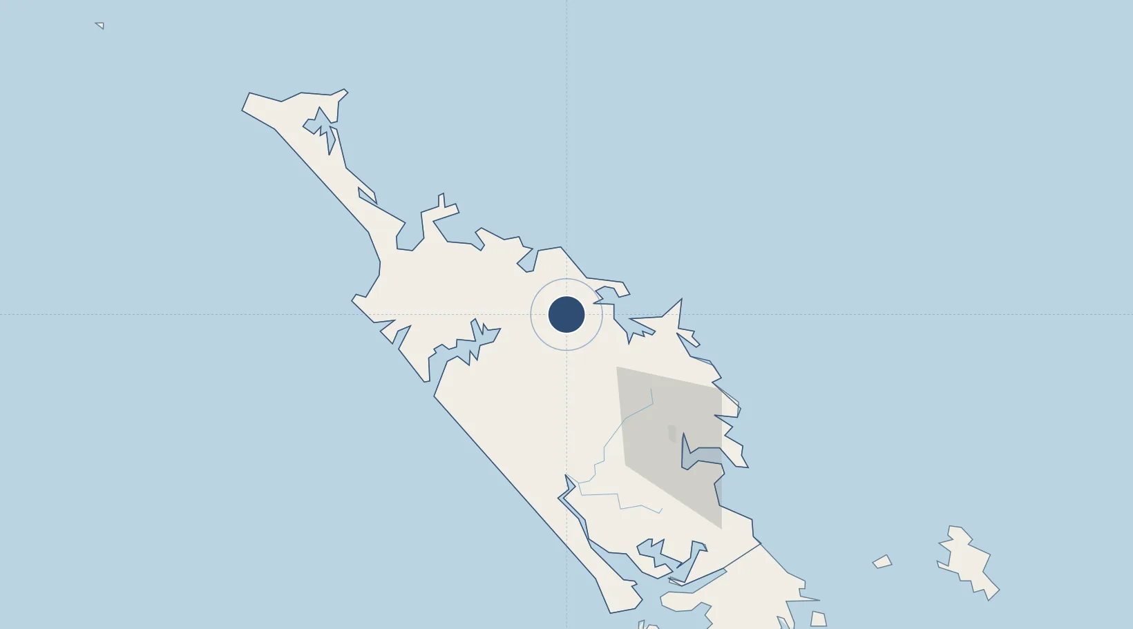
-35.2591°, 173.9133°
3,904 ft
Longest runway
4
Runways
492 ft
Elevation
Runway & Layout

Radio Frequencies
CTAF
119.4 MHz
AFIS
124.1 MHz
CHRISTCHURCH FIS
Navaids
KK NDB-DME Kerikeri 0.23 MHz
Runways · 4
| Runway | Dimensions | Surface | True heading | Lit |
|---|---|---|---|---|
| 15R/33L | 3,904 × 98ft | Asphalt | 166° | ✓ |
| 15L/33R | 2,247 × 66ft | Grass | 168° | — |
| 02/20 | 1,608 × 121ft | Grass | 038° | — |
| 15/33 | — | Unknown | — | — |
Airport Specifications
IATA code
KKE
ICAO code
NZKK
Airport class
Medium airport
Scheduled service
Yes
Runway surface
Asphalt
Served city
Kerikeri
Location
Nearby Logistics Neighbours
Airports
- 1Kaitaia Airport61 km
- 2Whangarei Airport70 km
- 3Okiwi Station Airport168 km
- 4Great Barrier Aerodrome178 km
- 5RNZAF Base Auckland-Whenuapai182 km
Ports
- 1Opua20 km
- 2Whangaroa27 km
- 3Whangarei76 km
- 4Auckland193 km
- 5Manukau Harbor202 km
Trade Zones
- 1Hicks Bay Area Special Economic Zone459 km
- 2Rotuma-Kadavu Tax-Free Region1955 km
- 3Kalabu Tax Free Zone1962 km
- 4Nausori-Ba Tax-Free Region1970 km
- 5Lautoka Special Zone1992 km
DatabookThe Record of Consolidated Knowledge
New Zealand beyond logistics?