UN/LOCODE hub · New Zealand
NZPKR

Pukeuri Junction

-45.0333°, 171.0333°
2
Transport functions

Transport Functions

Rail
Road
UN/LOCODE

Hub Profile

Place type
Populated place
GeoNames
Region
Otago
GeoNames
Time zone
Pacific/Auckland
GeoNames
Elevation
33 m
GeoNames

Location

Location of NZPKR
Natural Earth 10m (public domain) · Otago · NZPKR · -45.03, 171.03GoogleOSMYandex

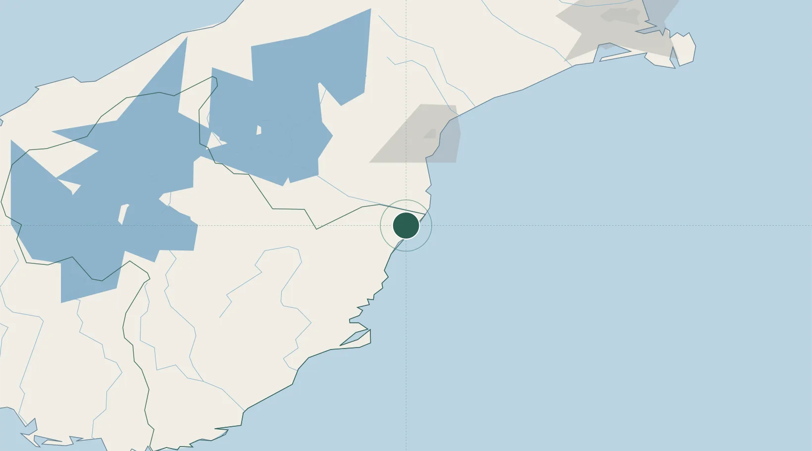
Nearby Logistics Neighbours

Cities
  1. 1Glenavy14 km
  2. 2Pareora61 km
  3. 3Timaru74 km
  4. 4Otematata76 km
  5. 5Otago Harbour91 km
Nearest neighbours — logibook spatial index (haversine) over the source coordinates
Ports
  1. 1Timaru73 km
  2. 2Otago Harbor93 km
  3. 3Akaroa206 km
  4. 4Port Lyttelton208 km
  5. 5Bluff Harbor272 km
Nearest neighbours — logibook spatial index (haversine) over the source coordinates
Airports
  1. 1Oamaru Airport8 km
  2. 2Timaru Airport83 km
  3. 3Pukaki Airport115 km
  4. 4Dunedin International Airport119 km
  5. 5Alexandra Aerodrome132 km
Nearest neighbours — logibook spatial index (haversine) over the source coordinates
Trade Zones
  1. 1Hicks Bay Area Special Economic Zone1017 km
  2. 2Latrobe Valley Economic Growth Zone2173 km
  3. 3Rotuma-Kadavu Tax-Free Region3068 km
  4. 4Kalabu Tax Free Zone3075 km
  5. 5Nausori-Ba Tax-Free Region3083 km
Nearest neighbours — logibook spatial index (haversine) over the source coordinates
DatabookThe Record of Consolidated Knowledge
New Zealand beyond logistics?
Browse databook

All Sources

LocationsUN/LOCODE
UN/LOCODE — free
Portsthe NGA World Port Index
Public domain (US gov)
AirportsOurAirports
Public domain
Trade Zonesthe World Bank SEZ database
CC BY 4.0
Trade ZonesOpen Zone Map
CC BY
← New Zealand locations