Transport Functions
Rail
Road
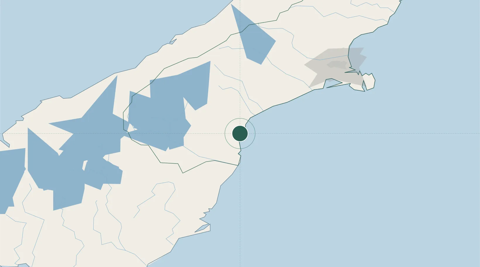
Hub Profile
Place type
Populated place
Region
Canterbury
Population
465
Time zone
Pacific/Auckland
Elevation
13 m
Location
Nearby Logistics Neighbours
Cities
- 1Timaru13 km
- 2Glenavy47 km
- 3Pukeuri Junction61 km
- 4Otematata75 km
- 5Rolleston139 km
Ports
- 1Timaru12 km
- 2Otago Harbor153 km
- 3Port Lyttelton157 km
- 4Akaroa161 km
- 5Greymouth230 km
Airports
- 1Timaru Airport22 km
- 2Oamaru Airport53 km
- 3Pukaki Airport91 km
- 4Glentanner Airport108 km
- 5Mount Cook Airport118 km
Trade Zones
- 1Hicks Bay Area Special Economic Zone962 km
- 2Latrobe Valley Economic Growth Zone2175 km
- 3Rotuma-Kadavu Tax-Free Region3007 km
- 4Kalabu Tax Free Zone3014 km
- 5Nausori-Ba Tax-Free Region3022 km
DatabookThe Record of Consolidated Knowledge
New Zealand beyond logistics?