UN/LOCODE hub · New Zealand
NZRAV
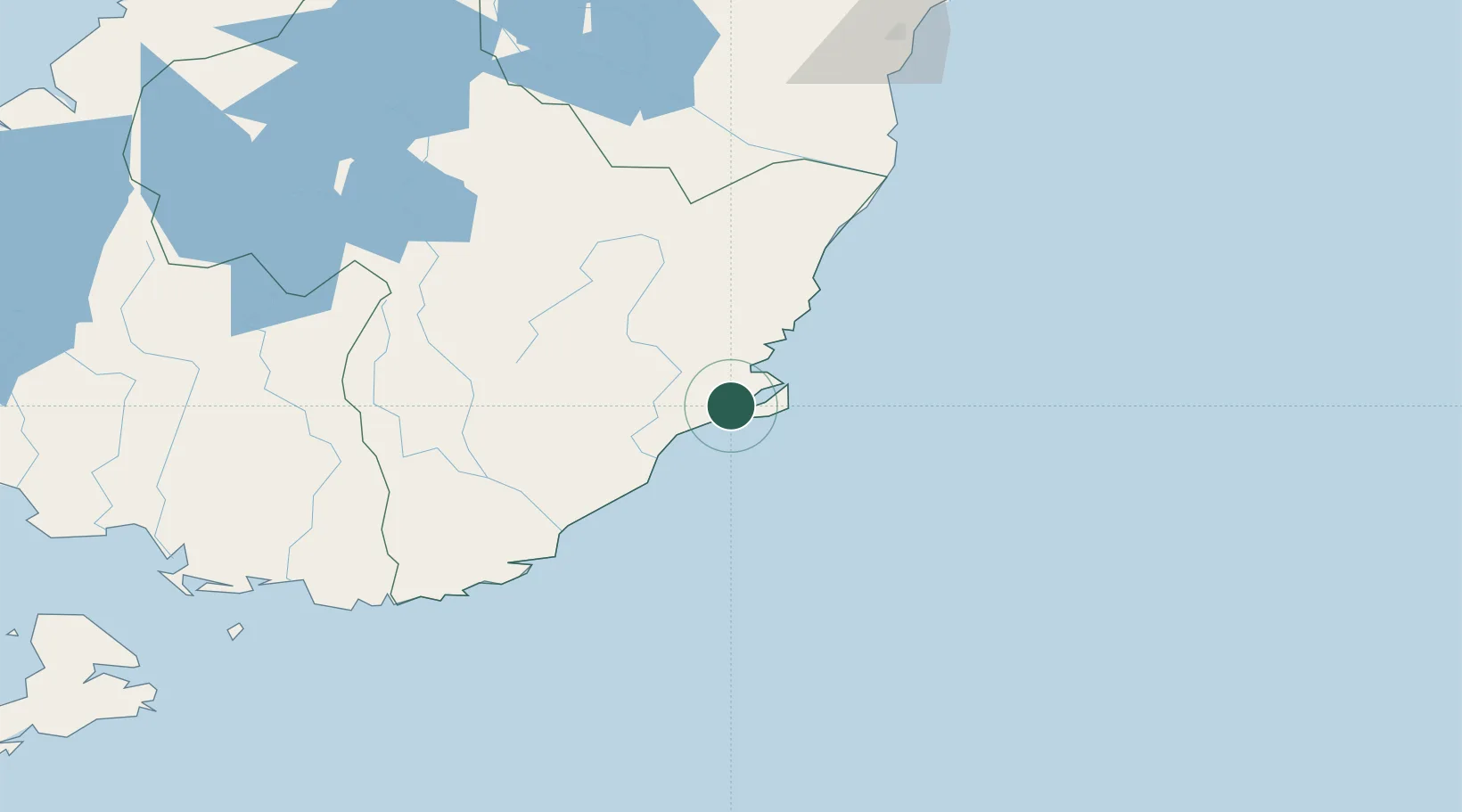
Ravensbourne
-45.8667°, 170.5500°
1,209
Population
3
Transport functions
Transport Functions
Port
Rail
Road
Hub Profile
Place type
Urban district
Region
Otago
Population
1,209
Time zone
Pacific/Auckland
Elevation
18 m
Location
Nearby Logistics Neighbours
Cities
- 1Dunedin3 km
- 2Port Chalmers6 km
- 3Otago Harbour9 km
- 4Mosgiel16 km
- 5Milton53 km
Ports
- 1Otago Harbor9 km
- 2Timaru172 km
- 3Bluff Harbor189 km
- 4Akaroa299 km
- 5Port Lyttelton305 km
Airports
- 1Dunedin International Airport28 km
- 2Oamaru Airport108 km
- 3Alexandra Aerodrome117 km
- 4Wanaka Airport163 km
- 5Queenstown Airport169 km
Trade Zones
- 1Hicks Bay Area Special Economic Zone1113 km
- 2Latrobe Valley Economic Growth Zone2157 km
- 3Rotuma-Kadavu Tax-Free Region3167 km
- 4Kalabu Tax Free Zone3174 km
- 5Nausori-Ba Tax-Free Region3182 km
DatabookThe Record of Consolidated Knowledge
New Zealand beyond logistics?