Transport Functions
Port
Hub Profile
Region
OTA
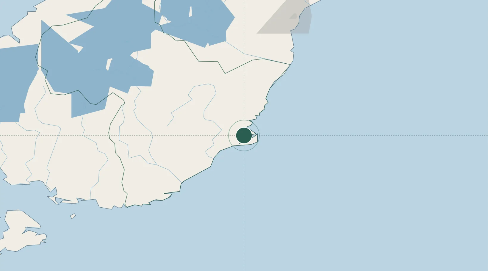
Location
Nearby Logistics Neighbours
Cities
- 1Port Chalmers4 km
- 2Ravensbourne9 km
- 3Dunedin12 km
- 4Mosgiel22 km
- 5Milton61 km
Ports
- 1Timaru163 km
- 2Bluff Harbor197 km
- 3Akaroa290 km
- 4Port Lyttelton296 km
- 5Greymouth377 km
Airports
- 1Dunedin International Airport36 km
- 2Oamaru Airport99 km
- 3Alexandra Aerodrome117 km
- 4Wanaka Airport161 km
- 5Queenstown Airport170 km
Trade Zones
- 1Hicks Bay Area Special Economic Zone1104 km
- 2Latrobe Valley Economic Growth Zone2160 km
- 3Rotuma-Kadavu Tax-Free Region3159 km
- 4Kalabu Tax Free Zone3166 km
- 5Nausori-Ba Tax-Free Region3173 km
DatabookThe Record of Consolidated Knowledge
New Zealand beyond logistics?