UN/LOCODE hub · New Zealand
NZPOE
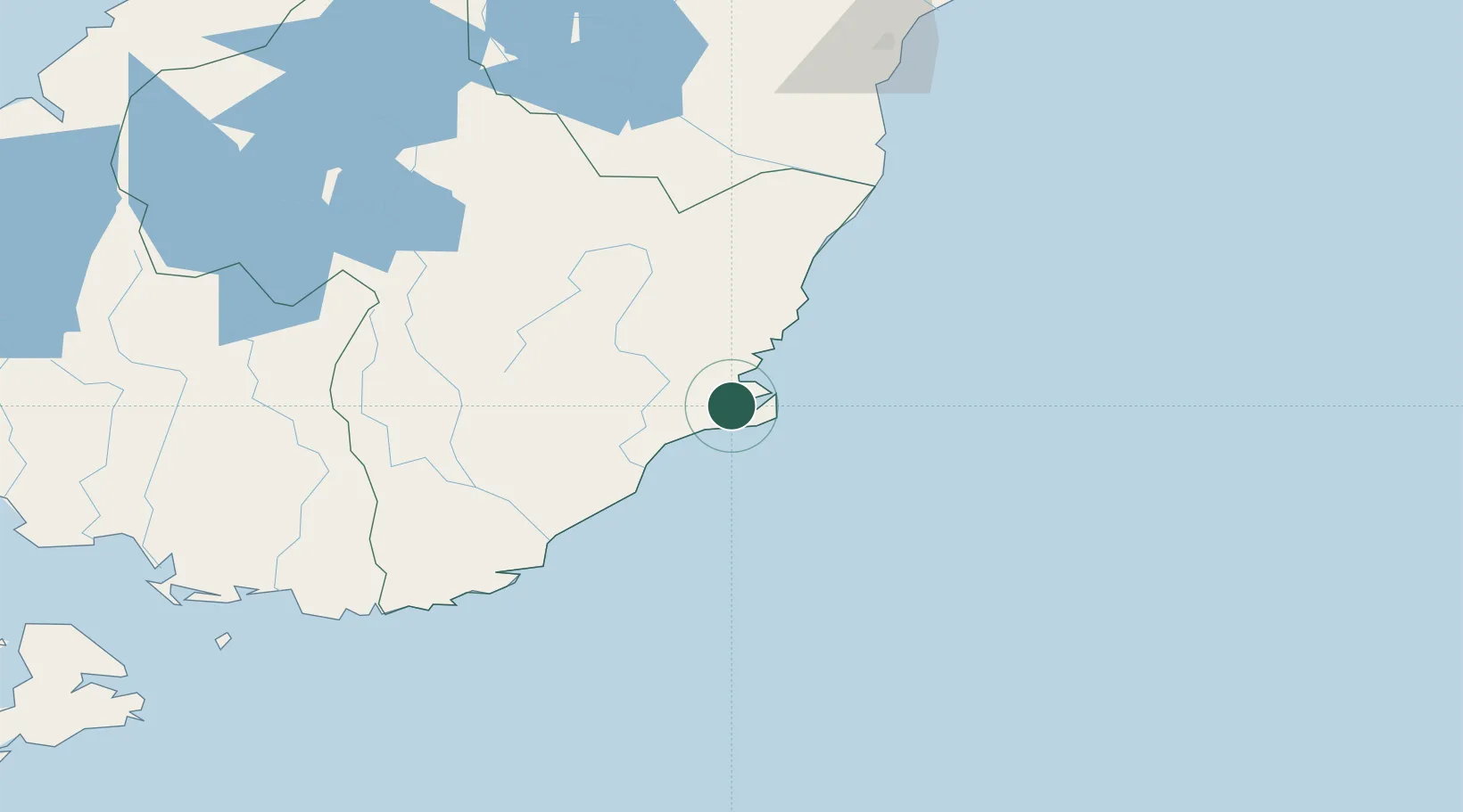
Port Chalmers
-45.8287°, 170.5994°
1,460
Population
1
Transport functions
1
Container terminals
Transport Functions
Port
Hub Profile
Place type
Populated place
Region
Otago
Population
1,460
Time zone
Pacific/Auckland
Elevation
135 m
Logistics facilities
5
Container terminals
1
Location
Nearby Logistics Neighbours
Cities
- 1Otago Harbour4 km
- 2Ravensbourne6 km
- 3Dunedin9 km
- 4Mosgiel20 km
- 5Milton59 km
Ports
- 1Otago Harbor3 km
- 2Timaru167 km
- 3Bluff Harbor194 km
- 4Akaroa293 km
- 5Port Lyttelton299 km
Airports
- 1Dunedin International Airport33 km
- 2Oamaru Airport103 km
- 3Alexandra Aerodrome118 km
- 4Wanaka Airport162 km
- 5Queenstown Airport170 km
Trade Zones
- 1Hicks Bay Area Special Economic Zone1107 km
- 2Latrobe Valley Economic Growth Zone2160 km
- 3Rotuma-Kadavu Tax-Free Region3162 km
- 4Kalabu Tax Free Zone3169 km
- 5Nausori-Ba Tax-Free Region3177 km
DatabookThe Record of Consolidated Knowledge
New Zealand beyond logistics?