UN/LOCODE hub · Norway
NOBEL

Bellvika

69.7833°, 18.7667°
1
Transport functions

Transport Functions

Port
UN/LOCODE

Hub Profile

Place type
Populated place
GeoNames
Region
Troms
GeoNames
Time zone
Europe/Oslo
GeoNames

Location

Location of NOBEL
Natural Earth 10m (public domain) · Troms · NOBEL · 69.78, 18.77GoogleOSMYandex

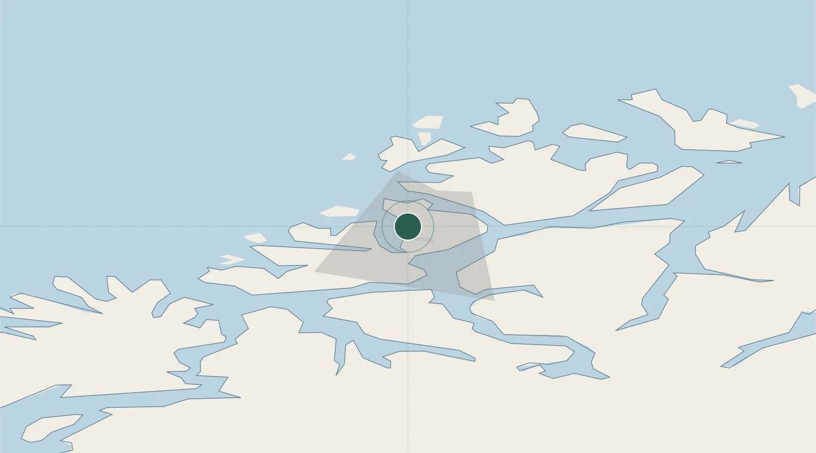
Nearby Logistics Neighbours

Cities
  1. 1Vengsøy9 km
  2. 2Kaldfjord11 km
  3. 3Tromvik14 km
  4. 4Tromsø15 km
  5. 5Tromsdalen18 km
Nearest neighbours — logibook spatial index (haversine) over the source coordinates
Ports
  1. 1Tromso17 km
  2. 2Olavsvern30 km
  3. 3Gibostad54 km
  4. 4Finnsnes69 km
  5. 5Sjovegan108 km
Nearest neighbours — logibook spatial index (haversine) over the source coordinates
Airports
  1. 1Tromsø Airport13 km
  2. 2Bardufoss Airport81 km
  3. 3Sørkjosen Airport84 km
  4. 4Andøya Airport, Andenes116 km
  5. 5Hasvik Airport150 km
Nearest neighbours — logibook spatial index (haversine) over the source coordinates
Trade Zones
  1. 1Oulu Port Free Warehouse Area603 km
  2. 2Turku Free Zone1051 km
  3. 3Free Zone of Lappeenranta1061 km
  4. 4Port of Hamina-Kotka1102 km
  5. 5Freeport of Hanko1123 km
Nearest neighbours — logibook spatial index (haversine) over the source coordinates
DatabookThe Record of Consolidated Knowledge
Norway beyond logistics?
Browse databook

All Sources

LocationsUN/LOCODE
UN/LOCODE — free
Portsthe NGA World Port Index
Public domain (US gov)
AirportsOurAirports
Public domain
Trade Zonesthe World Bank SEZ database
CC BY 4.0
Trade ZonesOpen Zone Map
CC BY
← Norway locations