Transport Functions
Port
Hub Profile
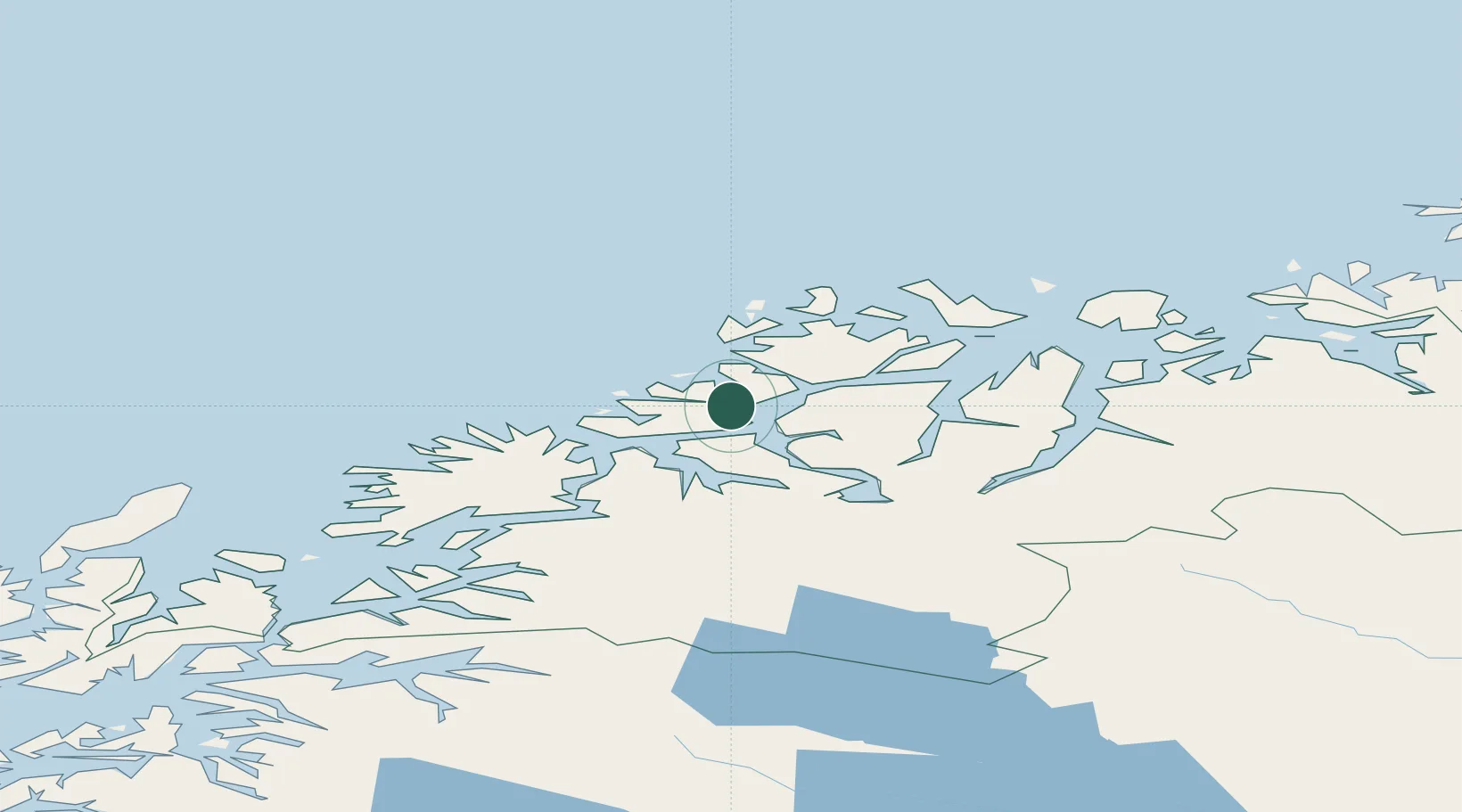
Place type
Populated place
Region
Troms
Time zone
Europe/Oslo
Elevation
22 m
Location
Nearby Logistics Neighbours
Cities
- 1Tromsø9 km
- 2Bellvika11 km
- 3Tromsdalen12 km
- 4Tromvik17 km
- 5Vengsøy18 km
Airports
- 1Tromsø Airport7 km
- 2Bardufoss Airport70 km
- 3Sørkjosen Airport87 km
- 4Andøya Airport, Andenes110 km
- 5Harstad/Narvik Airport156 km
Trade Zones
- 1Oulu Port Free Warehouse Area594 km
- 2Turku Free Zone1040 km
- 3Free Zone of Lappeenranta1052 km
- 4Port of Hamina-Kotka1092 km
- 5Freeport of Hanko1113 km
DatabookThe Record of Consolidated Knowledge
Norway beyond logistics?