Transport Functions
Port
Road
Multimodal
Hub Profile
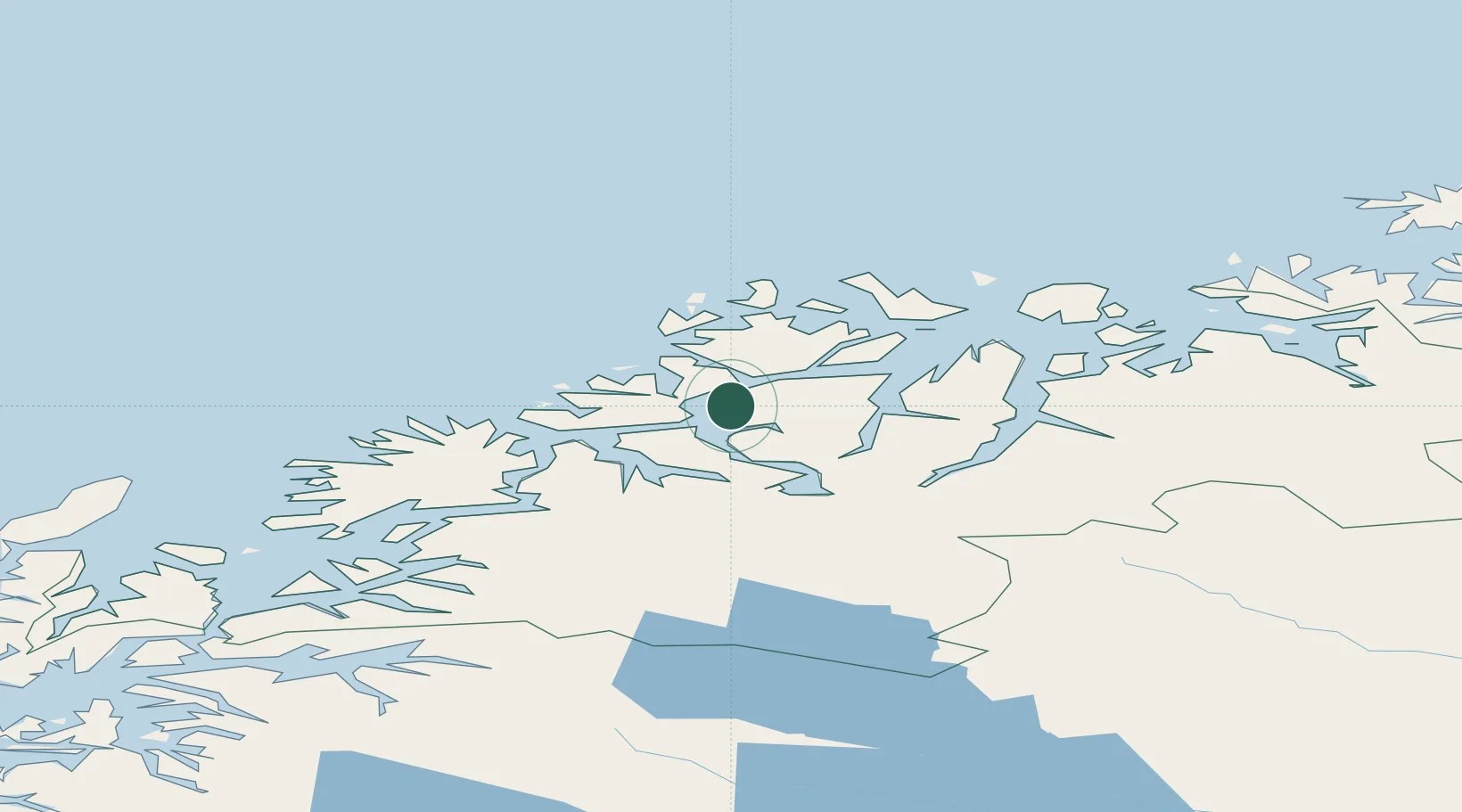
Place type
Populated place
Region
Troms
Population
18,291
Time zone
Europe/Oslo
Elevation
141 m
Location
Nearby Logistics Neighbours
Airports
- 1Tromsø Airport5 km
- 2Bardufoss Airport69 km
- 3Sørkjosen Airport76 km
- 4Andøya Airport, Andenes119 km
- 5Hasvik Airport151 km
Trade Zones
- 1Oulu Port Free Warehouse Area585 km
- 2Turku Free Zone1034 km
- 3Free Zone of Lappeenranta1044 km
- 4Port of Hamina-Kotka1084 km
- 5Freeport of Hanko1107 km
DatabookThe Record of Consolidated Knowledge
Norway beyond logistics?