UN/LOCODE hub · Norway
NOVEO

Vengsøy

69.8333°, 18.5833°
1
Transport functions

Transport Functions

Port
UN/LOCODE

Hub Profile

Region
19
GeoNames

Location

Location of NOVEO
Natural Earth 10m (public domain) · 19 · NOVEO · 69.83, 18.58GoogleOSMYandex

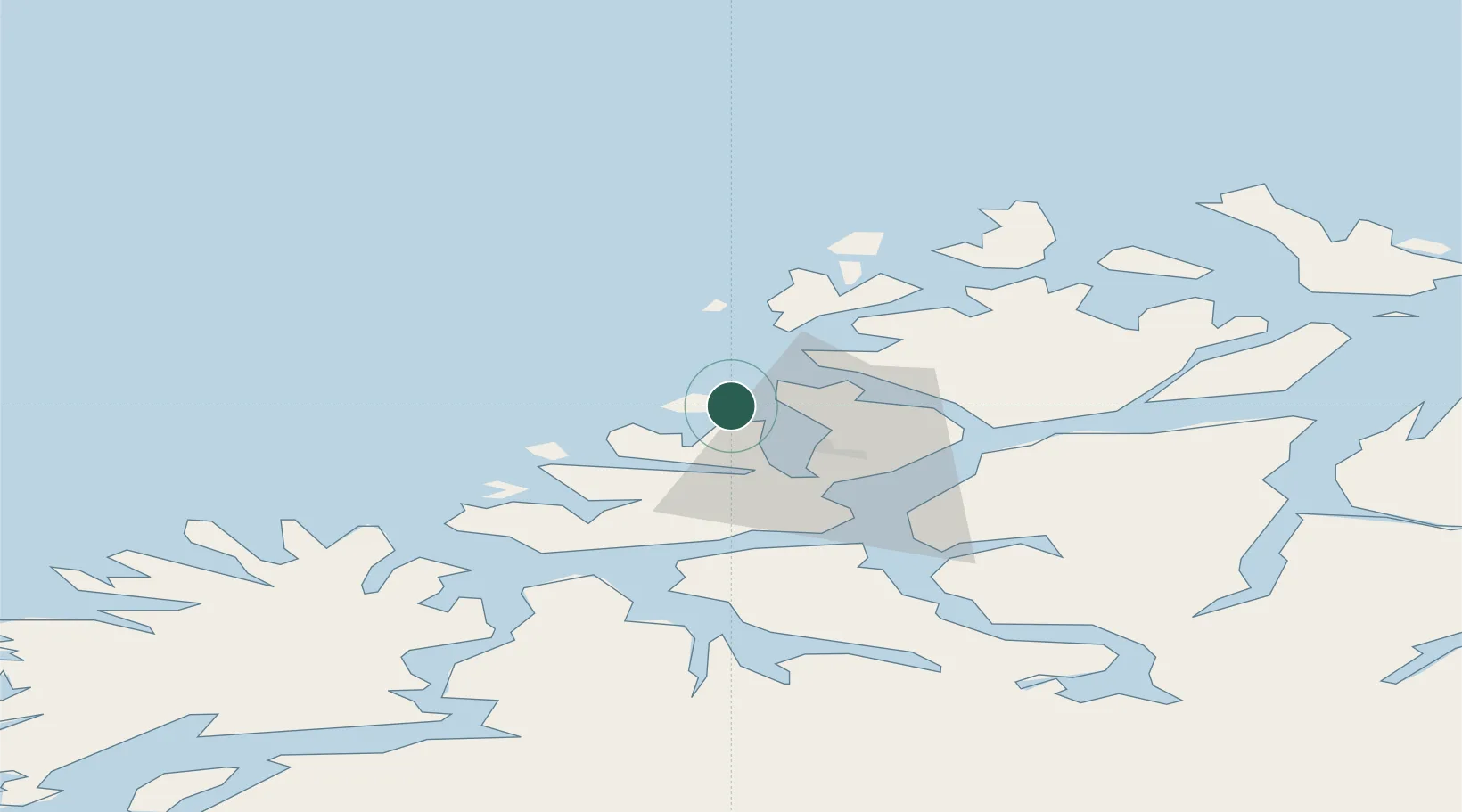
Nearby Logistics Neighbours

Cities
  1. 1Tromvik9 km
  2. 2Bellvika9 km
  3. 3Kaldfjord18 km
  4. 4Tromsø24 km
  5. 5Tromsdalen26 km
Nearest neighbours — logibook spatial index (haversine) over the source coordinates
Ports
  1. 1Tromso25 km
  2. 2Olavsvern38 km
  3. 3Gibostad57 km
  4. 4Finnsnes71 km
  5. 5Andenes111 km
Nearest neighbours — logibook spatial index (haversine) over the source coordinates
Airports
  1. 1Tromsø Airport21 km
  2. 2Bardufoss Airport87 km
  3. 3Sørkjosen Airport91 km
  4. 4Andøya Airport, Andenes112 km
  5. 5Hasvik Airport153 km
Nearest neighbours — logibook spatial index (haversine) over the source coordinates
Trade Zones
  1. 1Oulu Port Free Warehouse Area611 km
  2. 2Turku Free Zone1057 km
  3. 3Free Zone of Lappeenranta1069 km
  4. 4Port of Hamina-Kotka1110 km
  5. 5Freeport of Hanko1130 km
Nearest neighbours — logibook spatial index (haversine) over the source coordinates
DatabookThe Record of Consolidated Knowledge
Norway beyond logistics?
Browse databook

All Sources

LocationsUN/LOCODE
UN/LOCODE — free
Portsthe NGA World Port Index
Public domain (US gov)
AirportsOurAirports
Public domain
Trade Zonesthe World Bank SEZ database
CC BY 4.0
Trade ZonesOpen Zone Map
CC BY
← Norway locations