Small airport · Norway
Hasvik AirportENHK
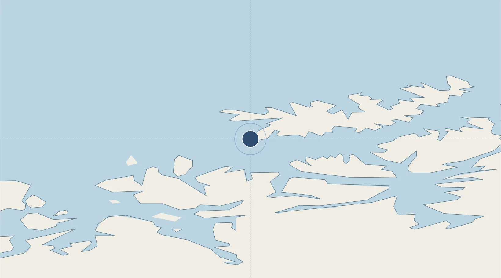
70.4867°, 22.1397°
3,179 ft
Longest runway
1
Runways
21 ft
Elevation
Runway & Layout

Radio Frequencies
AFIS
119.9 MHz
INFO
Navaids
HK NDB Hasvik 386 kHz
Runways · 1
| Runway | Dimensions | Surface | True heading | Lit |
|---|---|---|---|---|
| 11/29 | 3,179 × 98ft | Asphalt | 119° | ✓ |
Airport Specifications
IATA code
HAA
ICAO code
ENHK
Airport class
Small airport
Scheduled service
Yes
Runway surface
Asphalt
Served city
Hasvik
Location
Nearby Logistics Neighbours
Airports
- 1Hammerfest Airport61 km
- 2Alta Airport73 km
- 3Sørkjosen Airport90 km
- 4Lakselv Airport, Banak116 km
- 5Tromsø Airport151 km
Cities
- 1Hasvik2 km
- 2Breivikbotn12 km
- 3Sørvær17 km
- 4Øksfjord29 km
- 5Bergsfjord30 km
Ports
- 1Sorvaer17 km
- 2Oksfjord29 km
- 3Hammerfest60 km
- 4Kvalsund69 km
- 5Alta70 km
Trade Zones
- 1Murmansk Special Economic Zone454 km
- 2Oulu Port Free Warehouse Area626 km
- 3Free Zone of Lappeenranta1084 km
- 4Turku Free Zone1117 km
- 5Port of Hamina-Kotka1135 km
DatabookThe Record of Consolidated Knowledge
Norway beyond logistics?