UN/LOCODE hub · Norway
NOVEG

Vega

65.6500°, 12.0000°
1
Transport functions

Transport Functions

Port
UN/LOCODE

Hub Profile

Region
18
GeoNames

Location

Location of NOVEG
Natural Earth 10m (public domain) · 18 · NOVEG · 65.65, 12.00GoogleOSMYandex

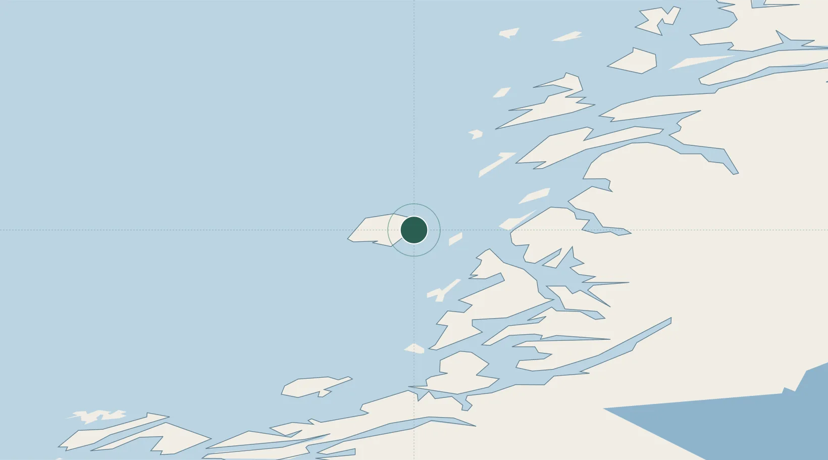
Nearby Logistics Neighbours

Cities
  1. 1Igerøy7 km
  2. 2Brønnøysund22 km
  3. 3Tjøtta27 km
  4. 4Lessremman39 km
  5. 5Herøy40 km
Nearest neighbours — logibook spatial index (haversine) over the source coordinates
Ports
  1. 1Bronnoysund22 km
  2. 2Tjotta28 km
  3. 3Berg33 km
  4. 4Sandnessjoen51 km
  5. 5Mosjoen58 km
Nearest neighbours — logibook spatial index (haversine) over the source coordinates
Airports
  1. 1Brønnøysund Airport, Brønnøy23 km
  2. 2Sandnessjøen Airport, Stokka40 km
  3. 3Mosjøen Airport, Kjærstad58 km
  4. 4Rørvik Airport, Ryum99 km
  5. 5Mo i Rana Airport, Røssvoll131 km
Nearest neighbours — logibook spatial index (haversine) over the source coordinates
Trade Zones
  1. 1Stockholm Free Zone767 km
  2. 2Turku Free Zone773 km
  3. 3Freeport of Hanko850 km
  4. 4Jönköping Free Zone883 km
  5. 5Gothenburg Boundless Customs Warehouse883 km
Nearest neighbours — logibook spatial index (haversine) over the source coordinates
DatabookThe Record of Consolidated Knowledge
Norway beyond logistics?
Browse databook

All Sources

LocationsUN/LOCODE
UN/LOCODE — free
Portsthe NGA World Port Index
Public domain (US gov)
AirportsOurAirports
Public domain
Trade Zonesthe World Bank SEZ database
CC BY 4.0
Trade ZonesOpen Zone Map
CC BY
← Norway locations