UN/LOCODE hub · Norway
NOIGE

Igerøy

65.6833°, 12.1333°
1
Transport functions

Transport Functions

Port
UN/LOCODE

Hub Profile

Region
18
GeoNames

Location

Location of NOIGE
Natural Earth 10m (public domain) · 18 · NOIGE · 65.68, 12.13GoogleOSMYandex

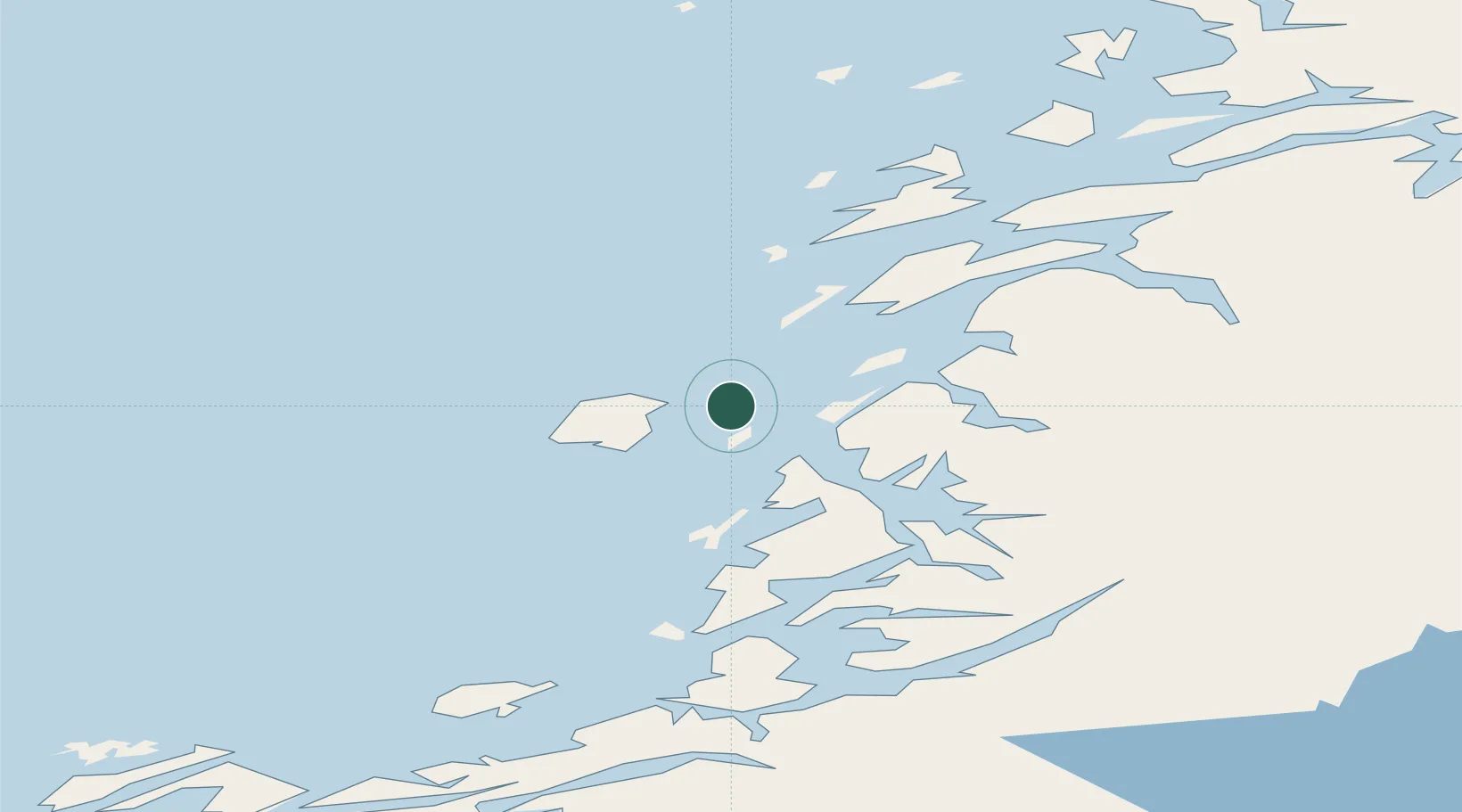
Nearby Logistics Neighbours

Cities
  1. 1Vega7 km
  2. 2Tjøtta20 km
  3. 3Brønnøysund24 km
  4. 4Herøy34 km
  5. 5Lessremman39 km
Nearest neighbours — logibook spatial index (haversine) over the source coordinates
Ports
  1. 1Tjotta21 km
  2. 2Bronnoysund24 km
  3. 3Berg36 km
  4. 4Sandnessjoen44 km
  5. 5Mosjoen51 km
Nearest neighbours — logibook spatial index (haversine) over the source coordinates
Airports
  1. 1Brønnøysund Airport, Brønnøy25 km
  2. 2Sandnessjøen Airport, Stokka34 km
  3. 3Mosjøen Airport, Kjærstad51 km
  4. 4Rørvik Airport, Ryum105 km
  5. 5Mo i Rana Airport, Røssvoll124 km
Nearest neighbours — logibook spatial index (haversine) over the source coordinates
Trade Zones
  1. 1Stockholm Free Zone768 km
  2. 2Turku Free Zone771 km
  3. 3Freeport of Hanko848 km
  4. 4Jönköping Free Zone886 km
  5. 5Gothenburg Boundless Customs Warehouse887 km
Nearest neighbours — logibook spatial index (haversine) over the source coordinates
DatabookThe Record of Consolidated Knowledge
Norway beyond logistics?
Browse databook

All Sources

LocationsUN/LOCODE
UN/LOCODE — free
Portsthe NGA World Port Index
Public domain (US gov)
AirportsOurAirports
Public domain
Trade Zonesthe World Bank SEZ database
CC BY 4.0
Trade ZonesOpen Zone Map
CC BY
← Norway locations