Transport Functions
Port
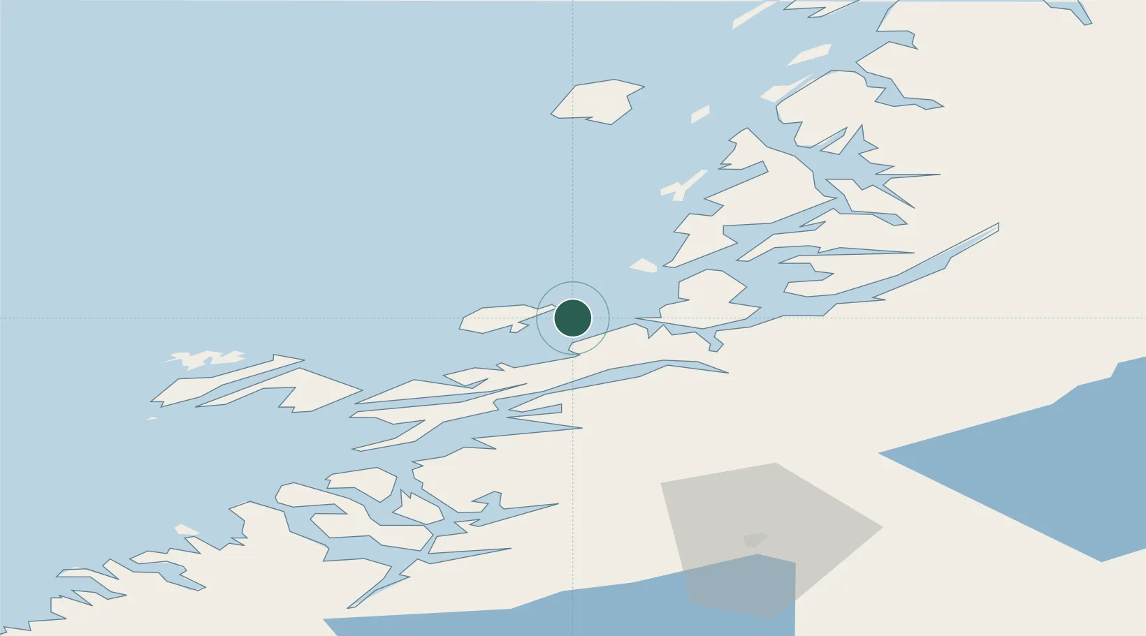
Hub Profile
Place type
Populated place
Region
Trøndelag
Time zone
Europe/Oslo
Elevation
109 m
Location
Nearby Logistics Neighbours
Cities
- 1Salsbruket32 km
- 2Ottersøy35 km
- 3Ottersøya36 km
- 4Rørvik38 km
- 5Lessremman44 km
Ports
- 1Salsbruket32 km
- 2Berg36 km
- 3Rorvik36 km
- 4Bronnoysund46 km
- 5Namsos71 km
Airports
- 1Rørvik Airport, Ryum42 km
- 2Brønnøysund Airport, Brønnøy46 km
- 3Namsos Airport69 km
- 4Mosjøen Airport, Kjærstad101 km
- 5Sandnessjøen Airport, Stokka102 km
Trade Zones
- 1Stockholm Free Zone716 km
- 2Turku Free Zone737 km
- 3Freeport of Hanko813 km
- 4Gothenburg Boundless Customs Warehouse820 km
- 5Jönköping Free Zone822 km
DatabookThe Record of Consolidated Knowledge
Norway beyond logistics?