Channel & Berth Profile
Pilotage, Tugs & Services
Pilotage compulsoryYES
Pilotage availableYES
Pilotage advisableYES
Salvage tugsNO
Potable waterYES
Diesel bunkersNO
MedicalYES
Facilities & Capabilities
ContainerNO
Ro-RoYES
Liquid bulkNO
Dry bulkYES
Oil terminalNO
Break bulkYES
Dry dock—
RepairsNO
BunkeringNO
Rail link—
Dangerous cargo—
ISPS security—
Harbour Specifications
Harbour size
Very Small
Harbour type
Coastal (Natural)
Shelter
Good
Water body
North Sea; North Atlantic Ocean
Pilotage
Yes
Liner Connectivity
10.5
PLSCI
Port Liner Shipping Connectivity Index for Sauda, as published by UNCTAD for the latest available quarter. Higher values indicate stronger scheduled liner-shipping integration.
Shown relative to the highest per-port PLSCI in the dataset (1,657.9).
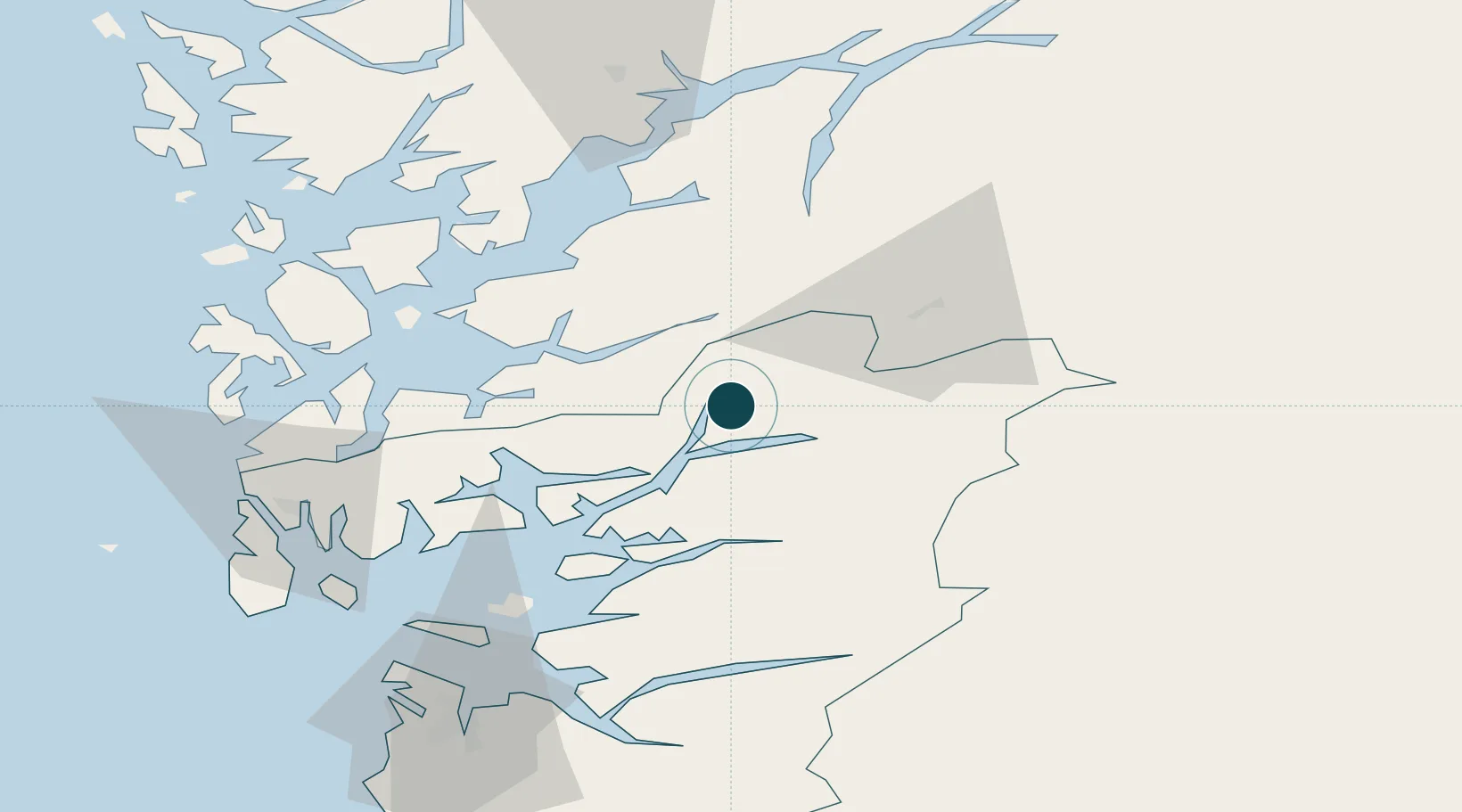
Location
Nearby Logistics Neighbours
Ports
- 1Husnes42 km
- 2Leirvik49 km
- 3Odda52 km
- 4Mosterhamn54 km
- 5Karsto62 km
Airports
- 1Stord Airport, Sørstokken59 km
- 2Haugesund Airport, Karmøy72 km
- 3Stavanger Airport, Sola94 km
- 4Bergen Airport, Flesland96 km
- 5Notodden Airport162 km
Trade Zones
- 1Gothenburg Boundless Customs Warehouse382 km
- 2Jönköping Free Zone493 km
- 3Freeport of Copenhagen- Nordhavn573 km
- 4MTS Malmö Transport and Spedition602 km
- 5Freeport of Kiel634 km
DatabookThe Record of Consolidated Knowledge
Norway beyond logistics?